|
Rayong Province
Rayong is a province (changwat) of Thailand. Neighbouring provinces are (from west clockwise) Chonburi, and Chanthaburi. To the south is the Gulf of Thailand.
As of 2016, per capita earnings were higher in Rayong Province than in any other Thai province.
History: King Taksin (of Thailand) came to Rayong after the fall of Ayutthaya. During a short stay in Rayong he built a navy, and then went on to Chanthaburi to assemble forces to fight the Burmese. There is a shrine in Rayong where local people pay their respects to Taksin.
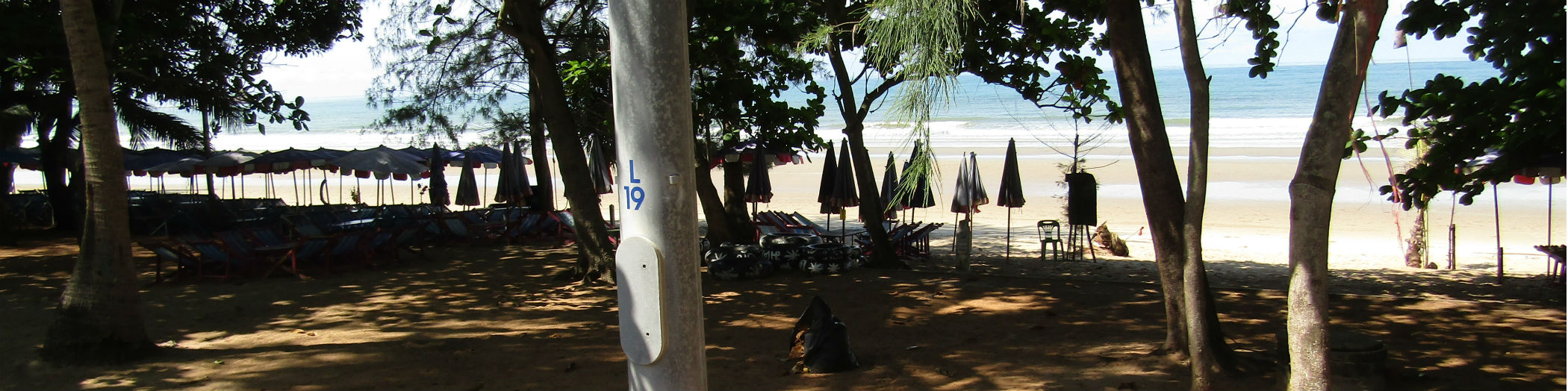
Geography: Although the north is hilly, the province consists mostly of low coastal plains. Off the shoreline of Mueang Rayong District is Khao Laem Ya–Mu Ko Samet National Park, consisting of several islands.
Symbols:The seal of the province shows the island Ko Samet. The provincial tree is Alexandrian laurel (Calophyllum inophyllum).
Economy: Rayong is one of the three Thai provinces, together with Chonburi and Chachoengsao, at the center of the nation's Eastern Economic Corridor. The three provinces are to become Thailand's hub for manufacturing, research, and services tightly coupled with its ASEAN neighbors and the world logistically. The project is the centerpiece of the government's "Thailand 4.0" economic initiative.
Administrative divisions: The province is divided into eight districts (amphoes). These are further subdivided into 58 sub-districts (tambons) and 388 villages (mubans).
Source: https://en.wikipedia.org/wiki/Rayong_Province
|
Rayong Map
 Haad Suan Son, Mueang Rayong District
Rayong Province
|
