|
Trat Province
Trat is the easternmost province (changwat) along the Thai coast. It has borders with Chanthaburi Province to the northwest, Cambodia to the east, and the Gulf of Thailand to the south. Trat is 315 km from Bangkok. Trat is known for gemstone mining and trading.
History: The history of Trat can be traced back to the early 17th century during the reign of King Prasat Thong of the Ayutthaya Kingdom. Formerly known as Mueang Thung Yai, Trat has played an important role in the development of the country's stability and economy due to its strategic location. The town of Trat later become a community of Chinese merchants.
After the fall of Ayutthaya to the Burmese in 1767, Trat served as a checkpoint and buffer city and was responsible for providing provisions to King Taksin the Great before he moved his forces from Chanthaburi to Ayutthaya. King Taksin then succeeded in driving out the Burmese invaders and liberated the kingdom from foreign rule.
In the Rattanakosin era, during the 1893 Paknam crisis, French troops landed and occupied the western part of Chantaburi Province. In 1904, Siam was forced to surrender Trat to French Indochina in order to regain Chantaburi. Three years later, however, finding that Trat with its almost entirely Thai population was hard to rule, the French returned Trat to Thailand on 23 March 1907, in exchange for larger areas along the Mekong river, which included Battambang, Siam Nakhon, and Sisophon, which all have a Khmer majority population.
During the French-Thai War of 1940-1941, the Vichy French navy sailed from Saigon to seize Trat. The unprepared Thai warships were caught by surprise. By the end of the 17 January 1941 Battle of Ko Chang, three Thai ships had been left sinking: the HTMS Chonburi, HTMS Songkhla, and HTMS Thonburi. French casualties were light with no ships lost. The Japanese government negotiated a truce, which ended the conflict without further fighting.
When the Vietnamese pushed the Khmer Rouge out of Cambodia in 1985, Pol Pot fled to Thailand and made his headquarters in a plantation villa near Trat. It was built for him by the Thai Army and nicknamed "Office 87".
Geography: The province covers a land area of 2,917 square kilometers or 1,71,000 rai.
The Cardamom mountain range forms the boundary to Cambodia in the east of the province, where Trat has borders with three Cambodian provinces: Battambang, Pursat, and Koh Kong.
The third biggest island of Thailand is the province's Ko Chang (after Phuket and Ko Samui). The island and more than 40 surrounding smaller islands form the Mu Ko Chang Marine National Park. Other islands of the province include Ko Kham, Ko Mak, and Ko Phi.
Climate: Most of Thailand receives from 1,200 to 1,600 mm of precipitation per year. Two provinces, Trat and Ranong, receive more than 4,500 mm a year making them the wettest places in the country.
Symbols: The provincial seal shows the sea with the Khao Banthat mountain range in the background.
The provincial tree is the tropical almond (Terminalia catappa).
Administration: The province is divided into seven districts (amphoes). These are further subdivided into 38 sub-districts (tambons) and 254 villages (mubans).
Source: https://en.wikipedia.org/wiki/Trat_Province
|
Sa Kaeo Province Map
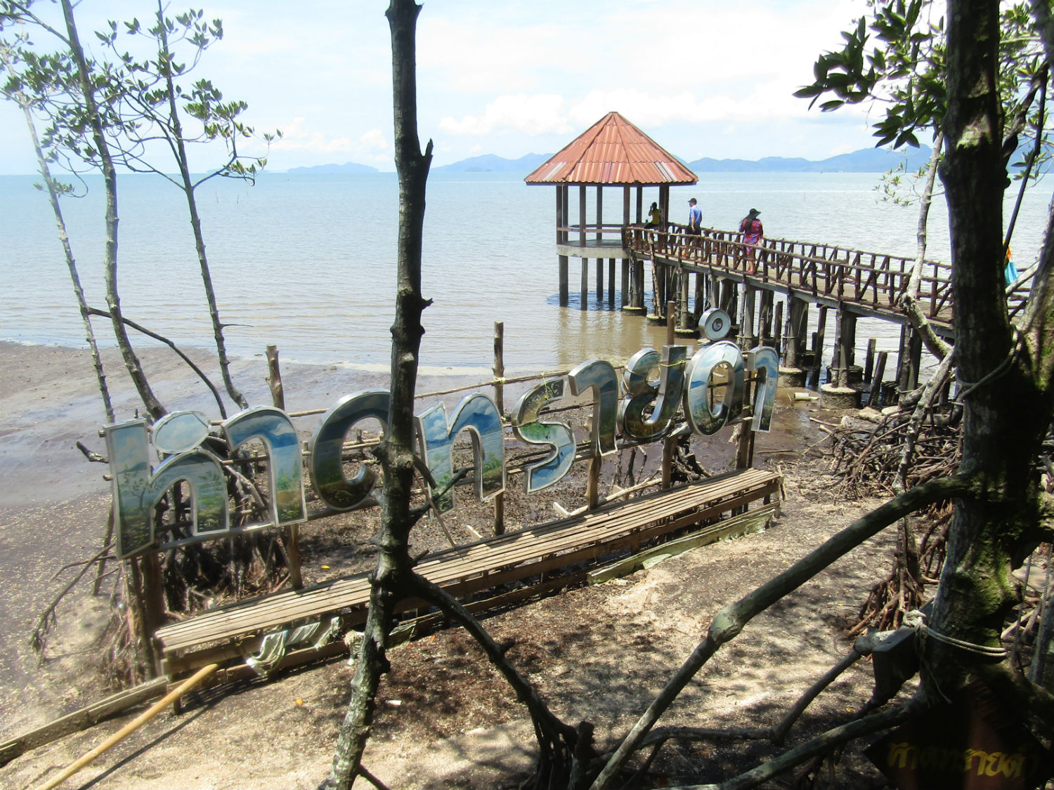 Black Sand Beach, Pa Lam Makham National Conservation Park, Laem Ngop District, Trat Province
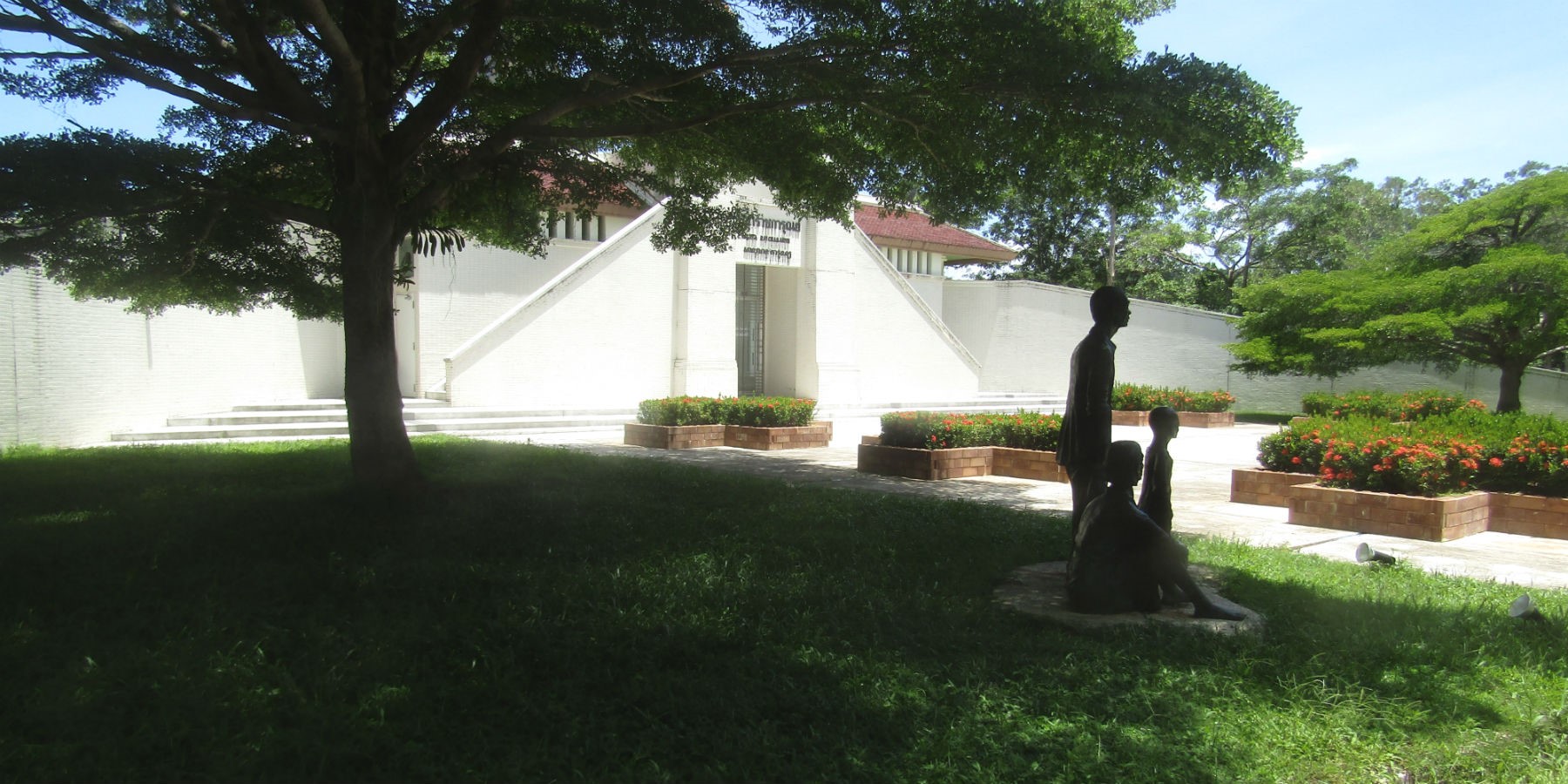 Sala Ratchakarun Thai Red Cross Centre Khao Lan,
Khlong Yai District, Trat Province
|
