|
Sa Kaeo Province
Sa Kaeo is a province (changwat) of Thailand. It lies in the east of Thailand about 200 km from Bangkok. Neighbouring provinces are (from south clockwise) Chanthaburi, Chachoengsao, Prachinburi, Nakhon Ratchasima, and Buriram. To the east it borders Banteay Meanchey and Battambang of Cambodia.
Sa Kaeo became a province in 1993, when the six districts Sa Kaeo, Khlong Hat, Wang Nam Yen, Aranyaprathet, Ta Phraya, and Watthana Nakhon of Prachinburi were elevated to provincial status. It is thus one of the four newest provinces of Thailand, together with Amnat Charoen, Nong Bua Lam Phu, and most recently, Bueng Kan.
The province is overwhelmingly Theravada Buddhist (99.4 percent).
In 1979 Sa Kaeo Refugee Camp was established northwest of Sa Kaeo town. It closed in 1989, but the legacy of the border clashes of the 1970s, 1980s, and 1990s is ever present. The largest land mine field in the world was planted along the Thai-Cambodia border according to some experts. Almost 4,000 people have been injured or killed by landmines in Thailand since the border battles—19 people in 2017 alone. According to a survey conducted in 2001, 27 of Thailand's 76 provinces were plagued with land mines, impacting more than 530 communities and some 500,000 people. Thailand still has approximately 409 km2 of mined area to clear scattered around the country. With an annual clearance rate of about one km2 between 2011 and 2015 the problem will not soon disappear.
Geography: The north of the province is covered with forested mountains of the Sankamphaeng Range and the Dangrek Mountains. To the south are the foothills of the Cardamom Mountains, which are mostly deforested.
Two national parks are found in the province: Pang Sida National Park was established in 1982, Ta Phraya National Park in 1996.
Symbols: The provincial seal shows the sun rising over archaeological ruins, Prasart Kao Noi Si Chom Poo, an important Khmer temple. The rising sun symbolizes the location of the province in the east. In the front is a Buddha image in a pond with lotus flowers.
Provincial tree is Phyllanthus emblica. The provincial flower is the Orange Jessamine (Murraya paniculata).
The provincial slogan is The frontier of the east, beautiful forests and splendid waterfalls, plenty of ancient civilisations, and the commercial venue between Thailand and Cambodia.
Administration: Sa Kaeo is divided into nine districts (amphoe). The districts are further subdivided into 59 sub-districts (tambons) and 619 villages (mubans).
Transport: Sa Kaew is serviced by the State Railway of Thailand Eastern Line from Bangkok to the Cambodian border at Khlong Luek. The major road, Route 33, passing through Sa Kaew province, connects with Route 1 heading into Bangkok in Nong Khae District, Saraburi province.
Source:https://en.wikipedia.org/wiki/Sa_Kaeo_Province
|
Sa Kaeo Province Map
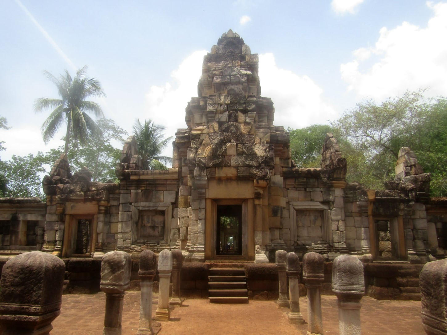 Prasat Sdok Kok Thom, Khok Sung District,
Sa Kaeo Province
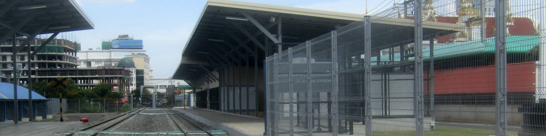 Khlong Luek (border) Railway Station,
Aranyaprathet District, Sa Kaeo Province
|
