|
|

|
Friday 27 April 2018
Unnatural........After I bring my notes up to date with an easier day yesterday, I’m still wondering why we’re still in Lamphun province and will be for another day it seems. There have been 10 days with little respite recording important sites in three provinces in often difficult conditions for me. However it seems today that we are moving away from the historic, cultural and religious to something more natural which I had hoped for to end this tour. By 10.30am we’re ready to depart but that natural feeling isn’t ready; not quite yet.
Chaiya Sukhang Pang Pratheep Thaen Dokmai Buddha Park........ This temple with a rather tongue twisting name is located about 13 km along Highway 1087 heading west from the junction with the 106 in Li District. It is an unscheduled stop here having been located via GPS along our direction of travel. As there is no onsite information in English I have to rely on observation. The park is quite new. Katoon thinks it maybe a memorial or anniversary for the late king but what I see is a serious attempt to display in one place examples of the best religious art in Thailand in a way that shouts loud enough to awaken the Gods. As it would be impossible for me to describe what’s here I can only present photographic evidence in my blog.
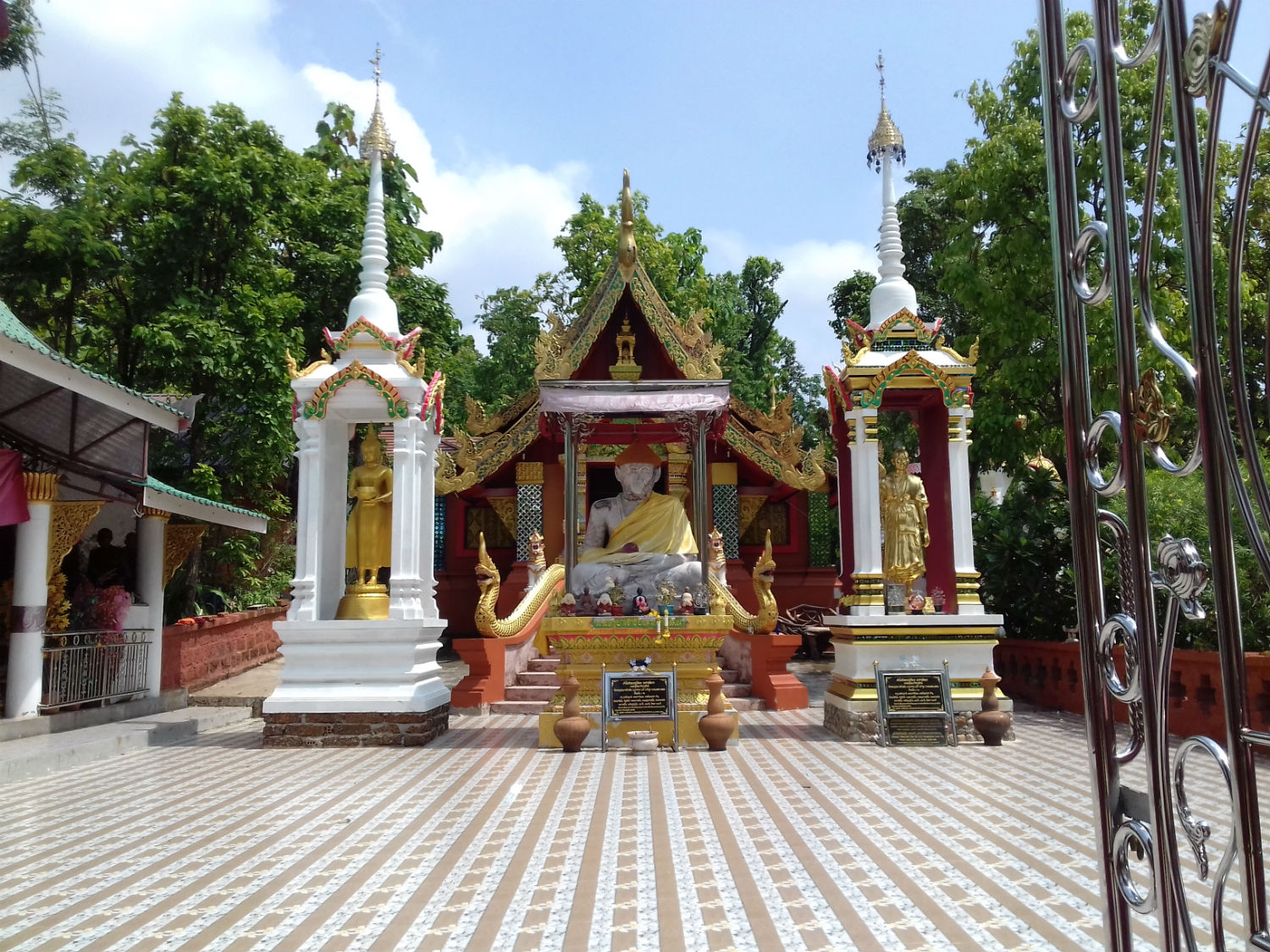
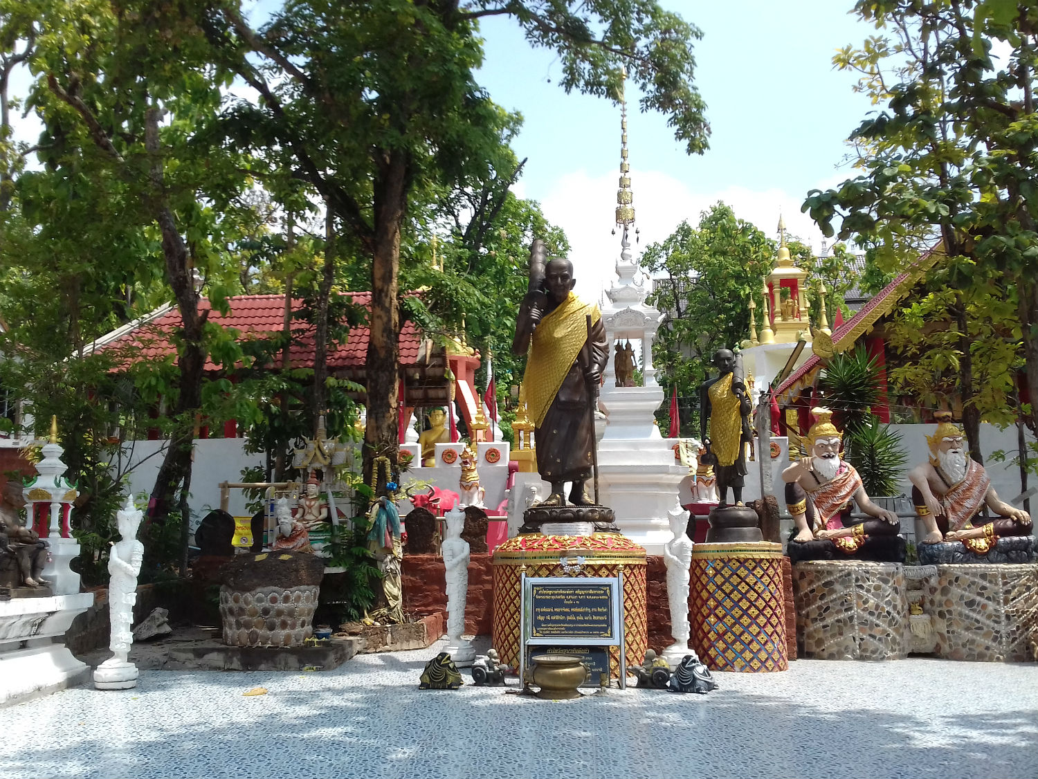
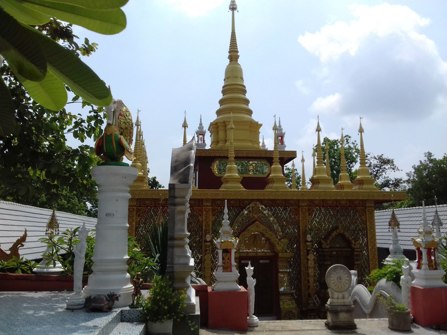
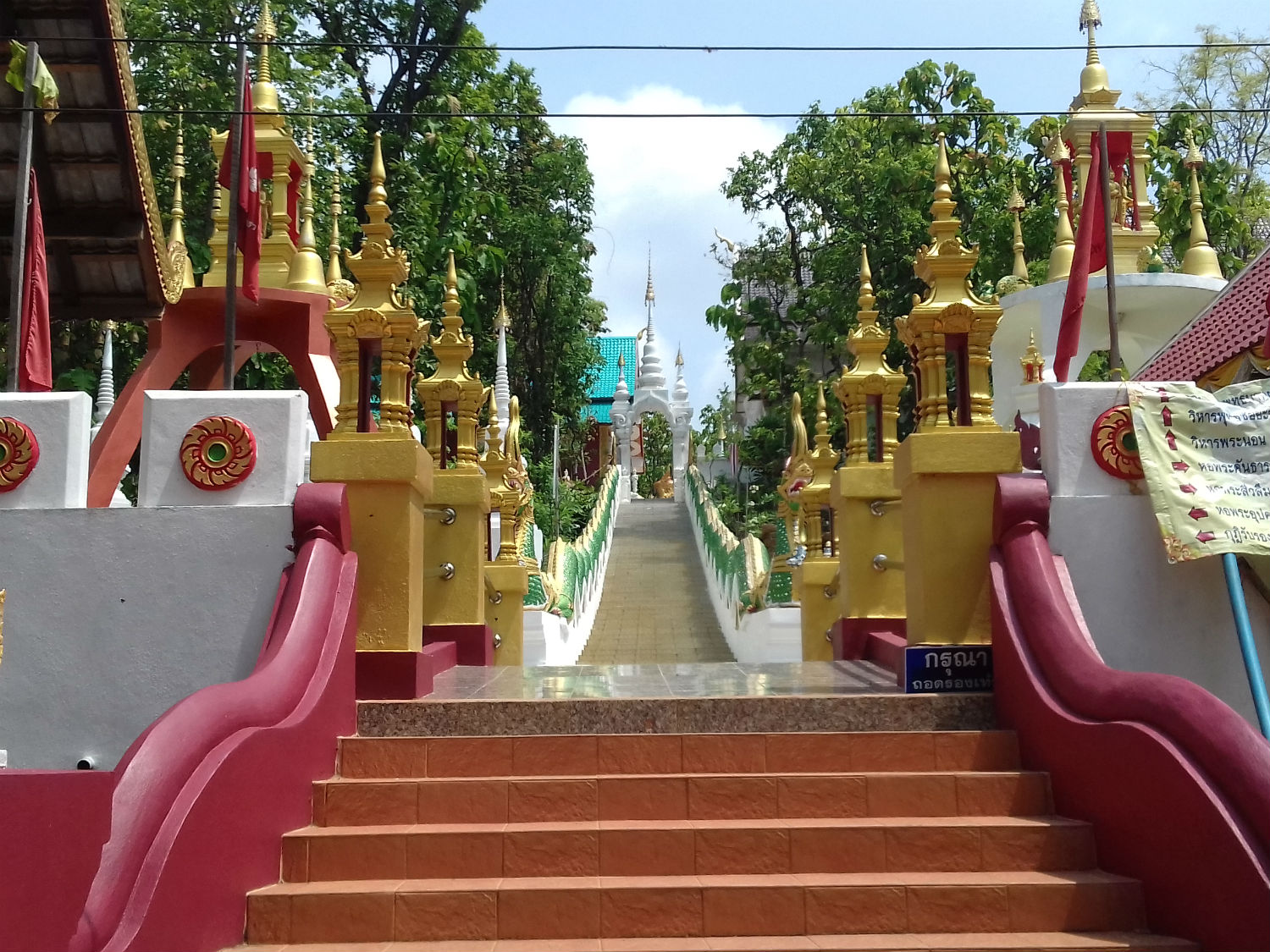
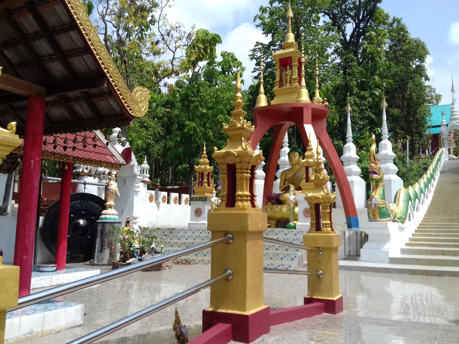
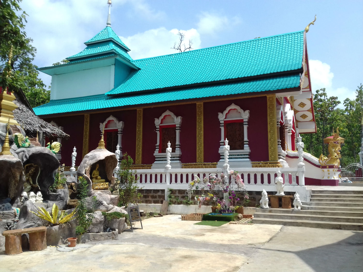
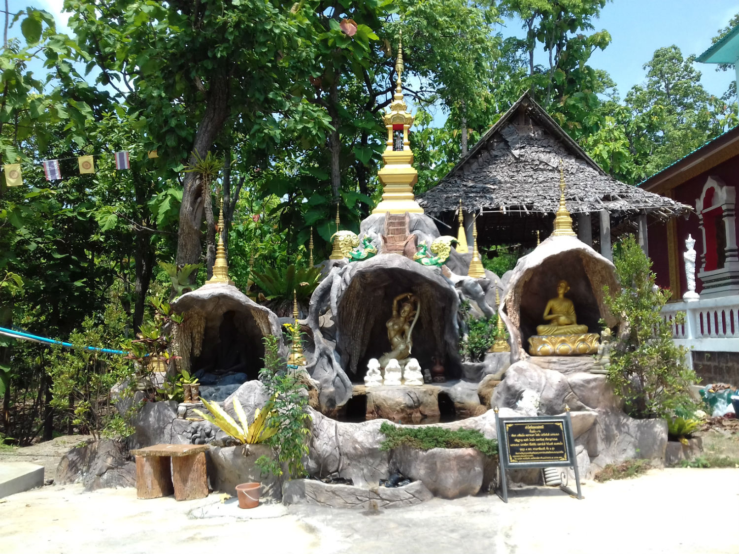
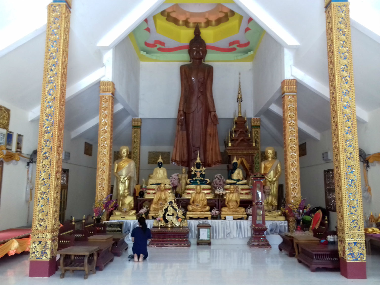 Chaiya Sukhang Pang Pratheep Thaen Dokmai Buddha Park, Li District, Lamphun Province
and finally........Long before we embarked on this tour, it was anticipated that on the way back from the north, we would hit Thailand’s western regions at some time dominated by the Tenasserim Hills, most likely in Tak province. However as we follow the 1087 deep into the mountains of southern Lamphun province, we’re so close to the border with Tak, I could throw a rock at it.
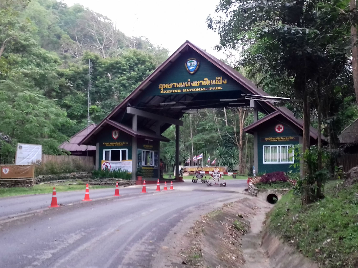
Mae Ping National Park lies at the southern end of the Thanon Thong Chai Range, in Lamphun, Tak, and Chiang Mai Provinces in northern Thailand. Established in 1981, it is a Category II protected area measuring over 1,000 square kilometres (387 sq mi). The park's main features are the Ping River, Koh Luang Waterfall and Thung Kik-Thung Nangu meadows.
As we proceed towards the park entrance, I realise why Katoon has approached it from this direction. Further west and south the terrain is far more difficult to negotiate. At the park entrance there is a modest 100 baht fee for me and I’m soon able to get my bearings to see what the park has to offer. I already know that the area is dominated by the Ping River which has carved its way through this mountainous region on its way south but there are a few other attractions I wish to explore.
Thung Kik........Unfortunately we can’t make it to this location as the park has denied public access. At the guard post they don’t give a reason but I suggest that at this time of year, there’s too big a risk of fire. Thung Kik is described as ‘a vast grassland surrounded by mountains’. It covers an area of about 3.2 square kilometres and lies 560 metres above sea level.
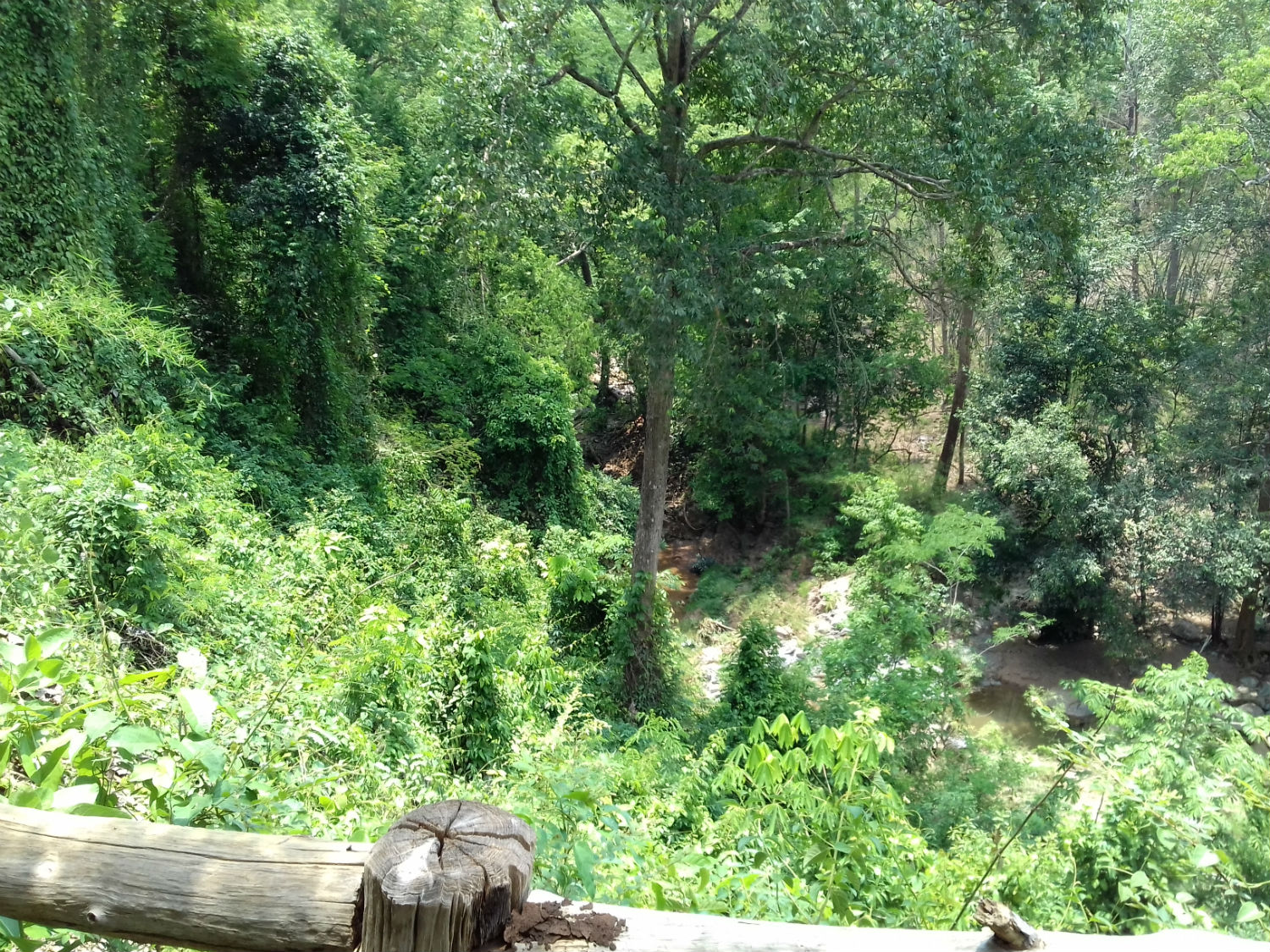
Ko Luang Waterfall........Ko Luang Waterfall is described as a 7-level limestone waterfall originating from the Mae Ko Stream. The stream travels from abundant forest over a high cliff into a large pond which glistens emerald green in winter.
Mae Ping National Park lies at the southern end of the Thanon Thong Chai Range, in Lamphun, Tak, and Chiang Mai Provinces in northern Thailand. Established in 1981, it is a Category II protected area measuring over 1,000 square kilometres (387 sq mi). The park's main features are the Ping River, Koh Luang Waterfall and Thung Kik-Thung Nangu meadows.
As we proceed towards the park entrance, I realise why Katoon has approached it from this direction. Further west and south the terrain is far more difficult to negotiate. At the park entrance there is a modest 100 baht fee for me and I’m soon able to get my bearings to see what the park has to offer. I already know that the area is dominated by the Ping River which has carved its way through this mountainous region on its way south but there are a few other attractions I wish to explore.
Thung Kik........Unfortunately we can’t make it to this location as the park has denied public access. At the guard post they don’t give a reason but I suggest that at this time of year, there’s too big a risk of fire. Thung Kik is described as ‘a vast grassland surrounded by mountains’. It covers an area of about 3.2 square kilometres and lies 560 metres above sea level.
Ko Luang Waterfall........Ko Luang Waterfall is described as a 7-level limestone waterfall originating from the Mae Ko Stream. The stream travels from abundant forest over a high cliff into a large pond which glistens emerald green in winter.
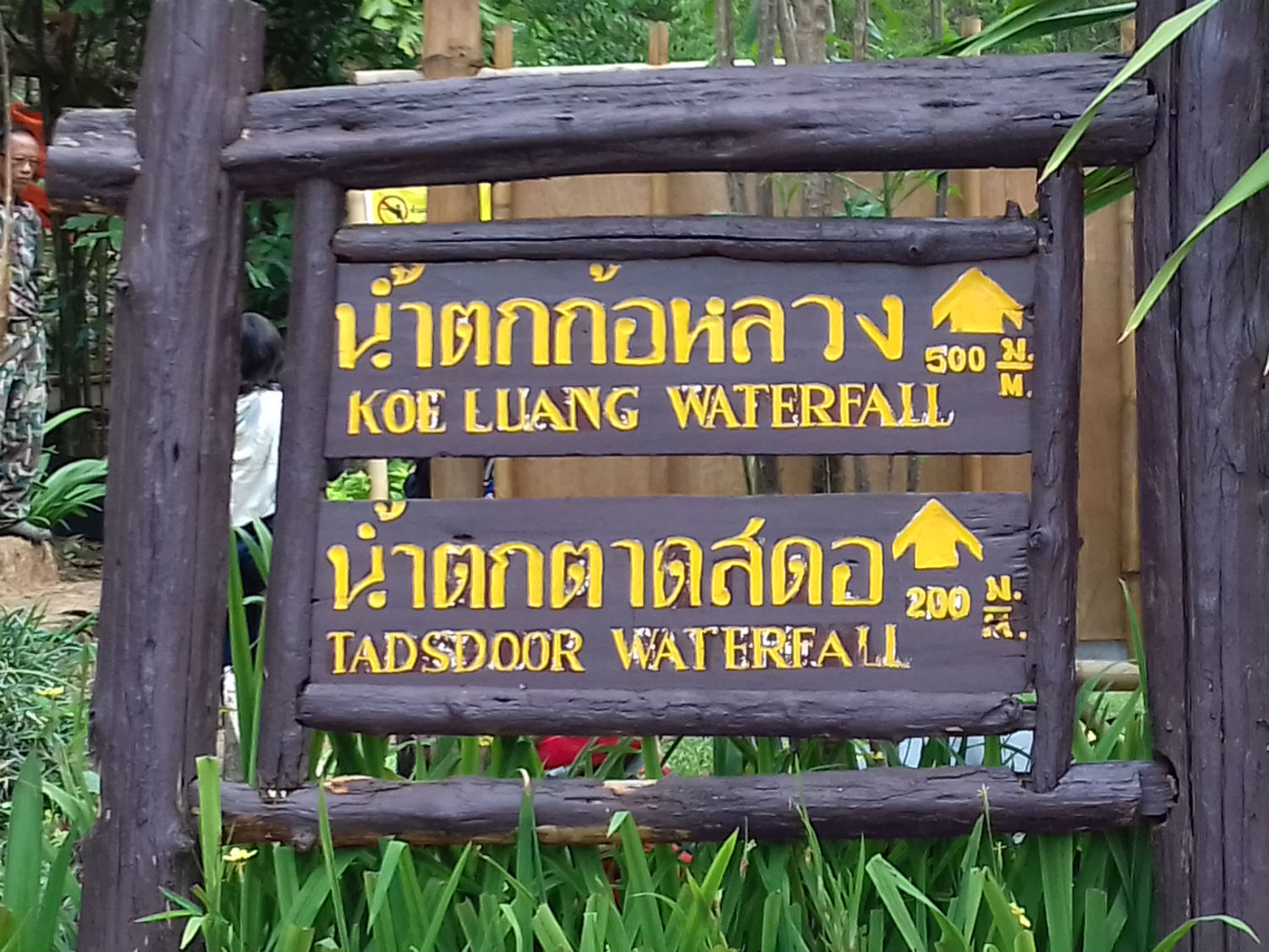
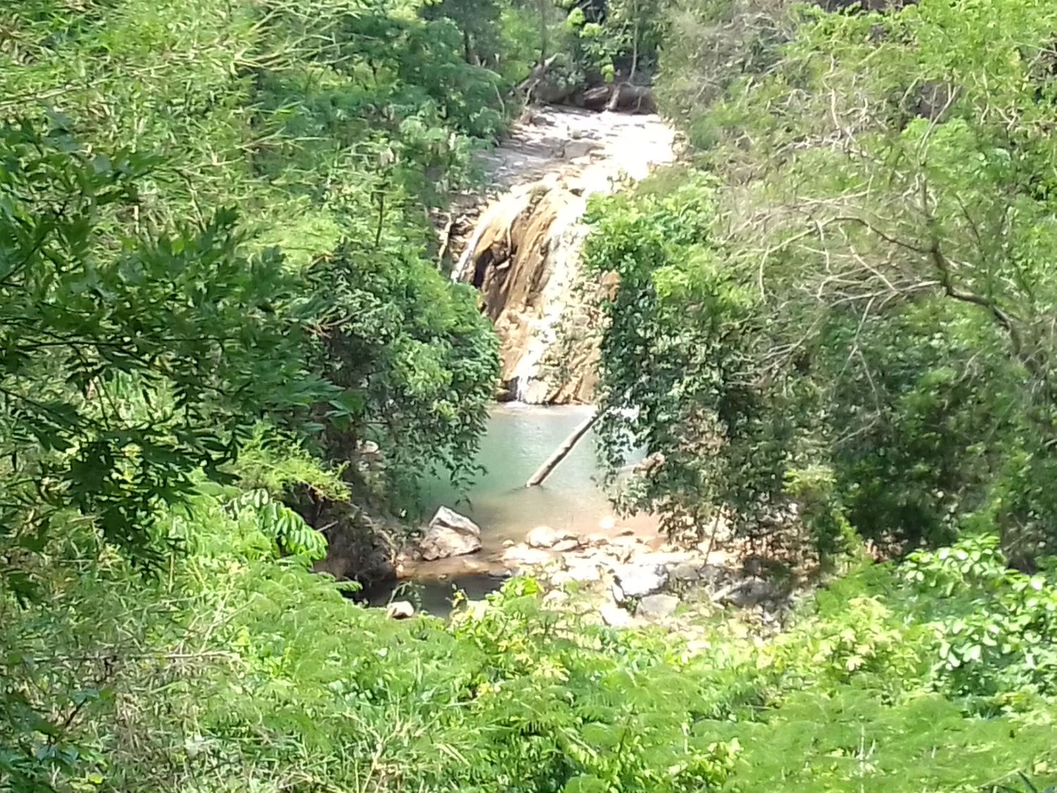
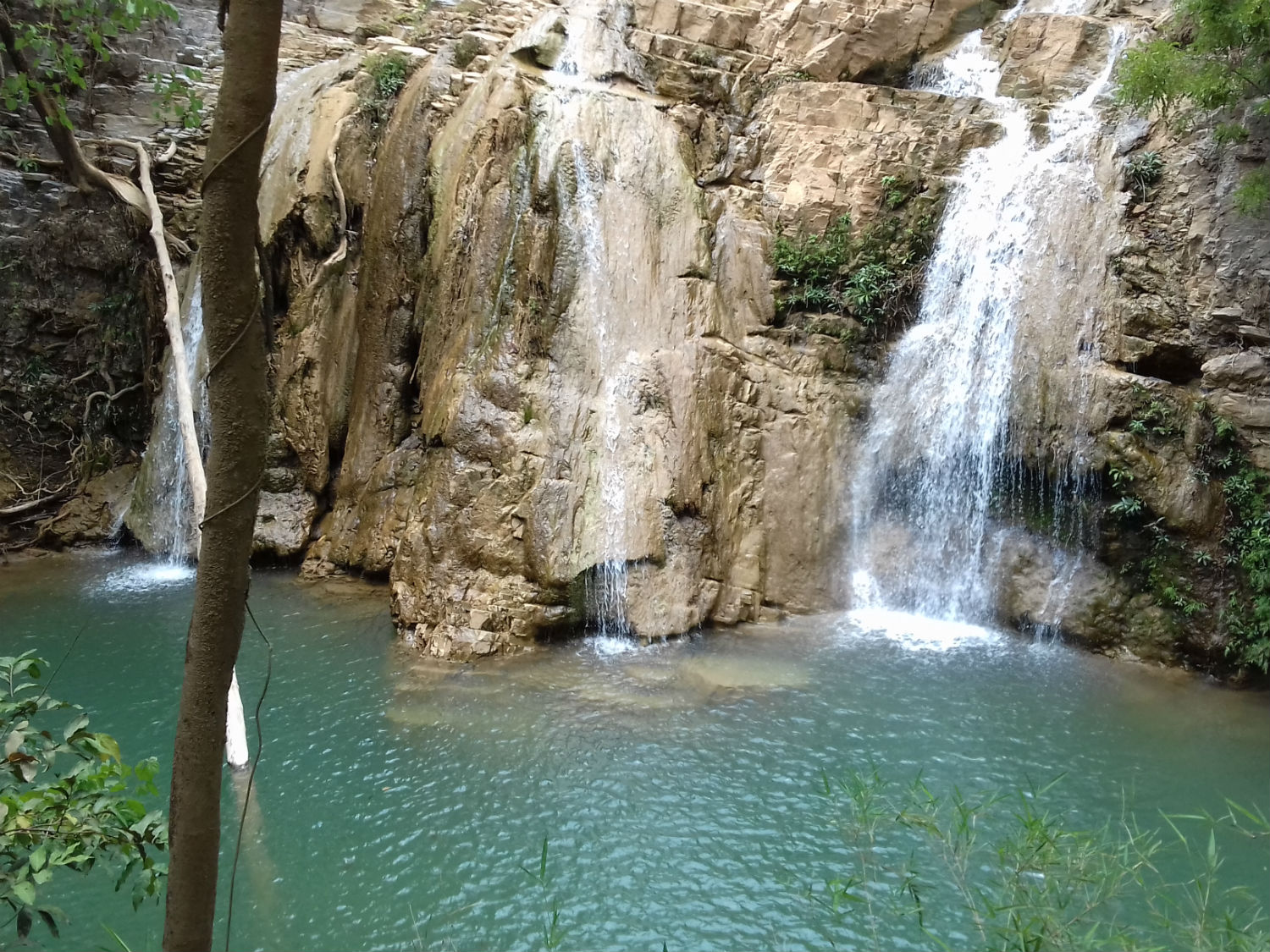
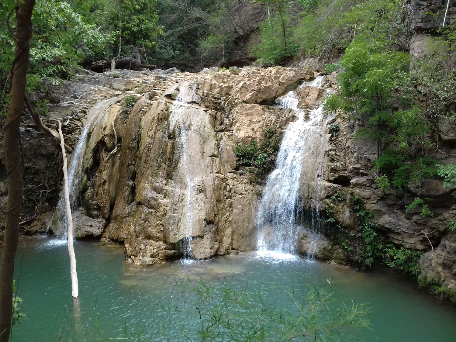
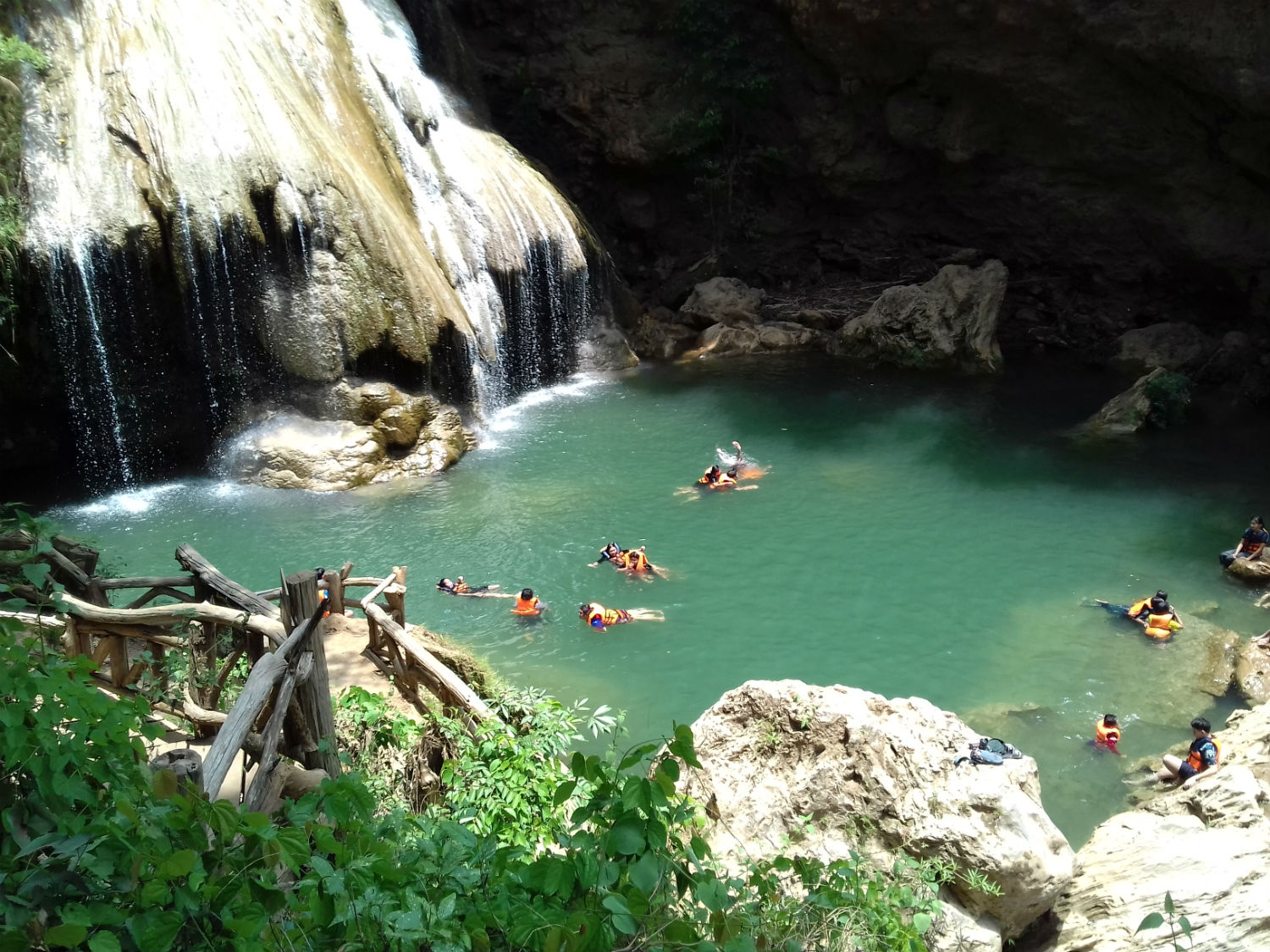
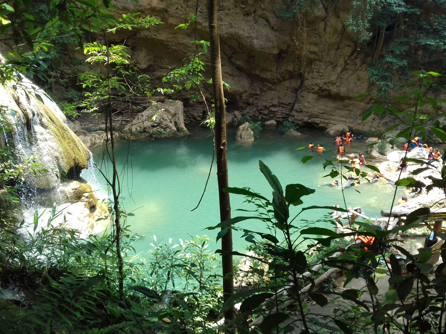
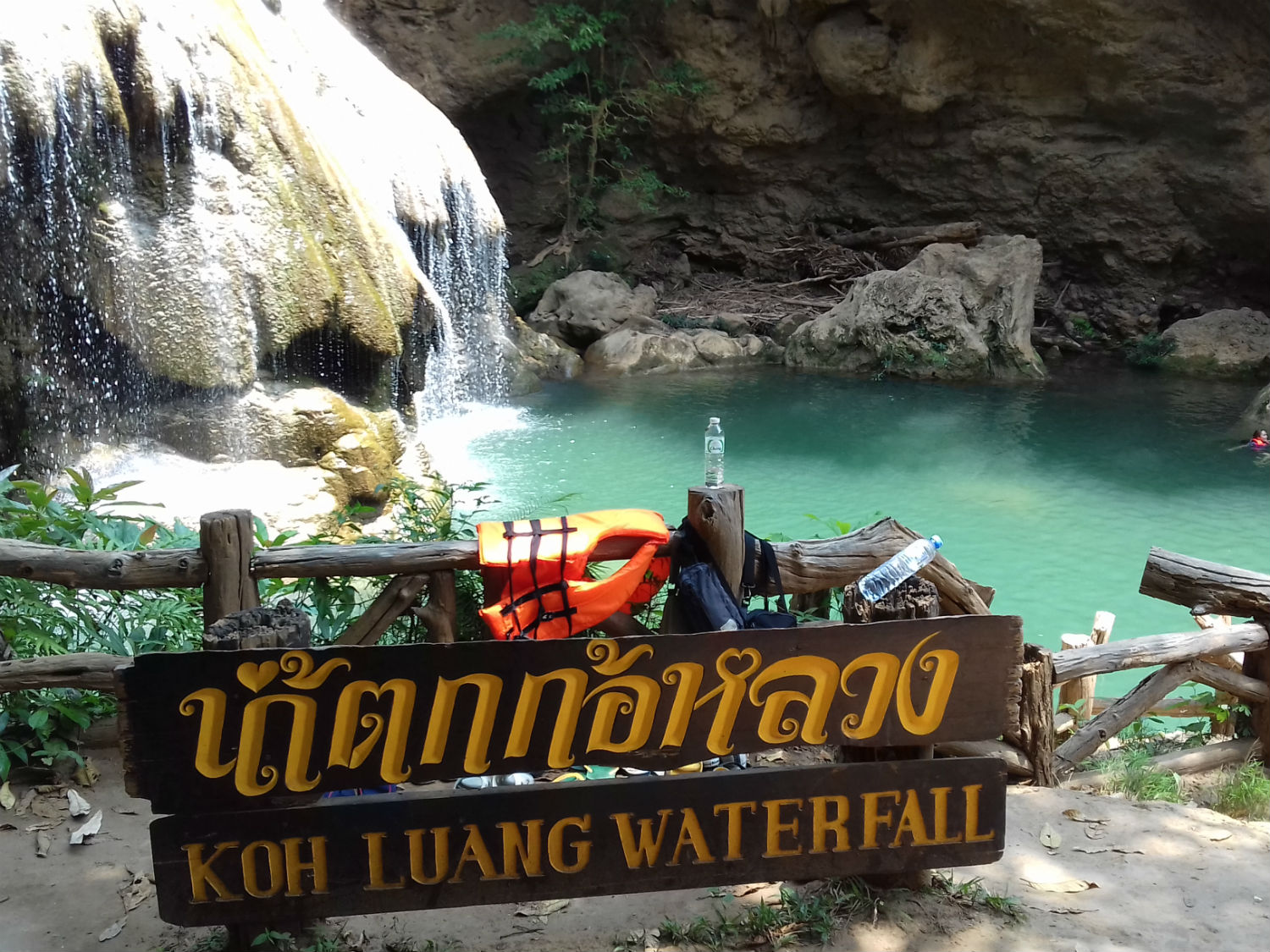
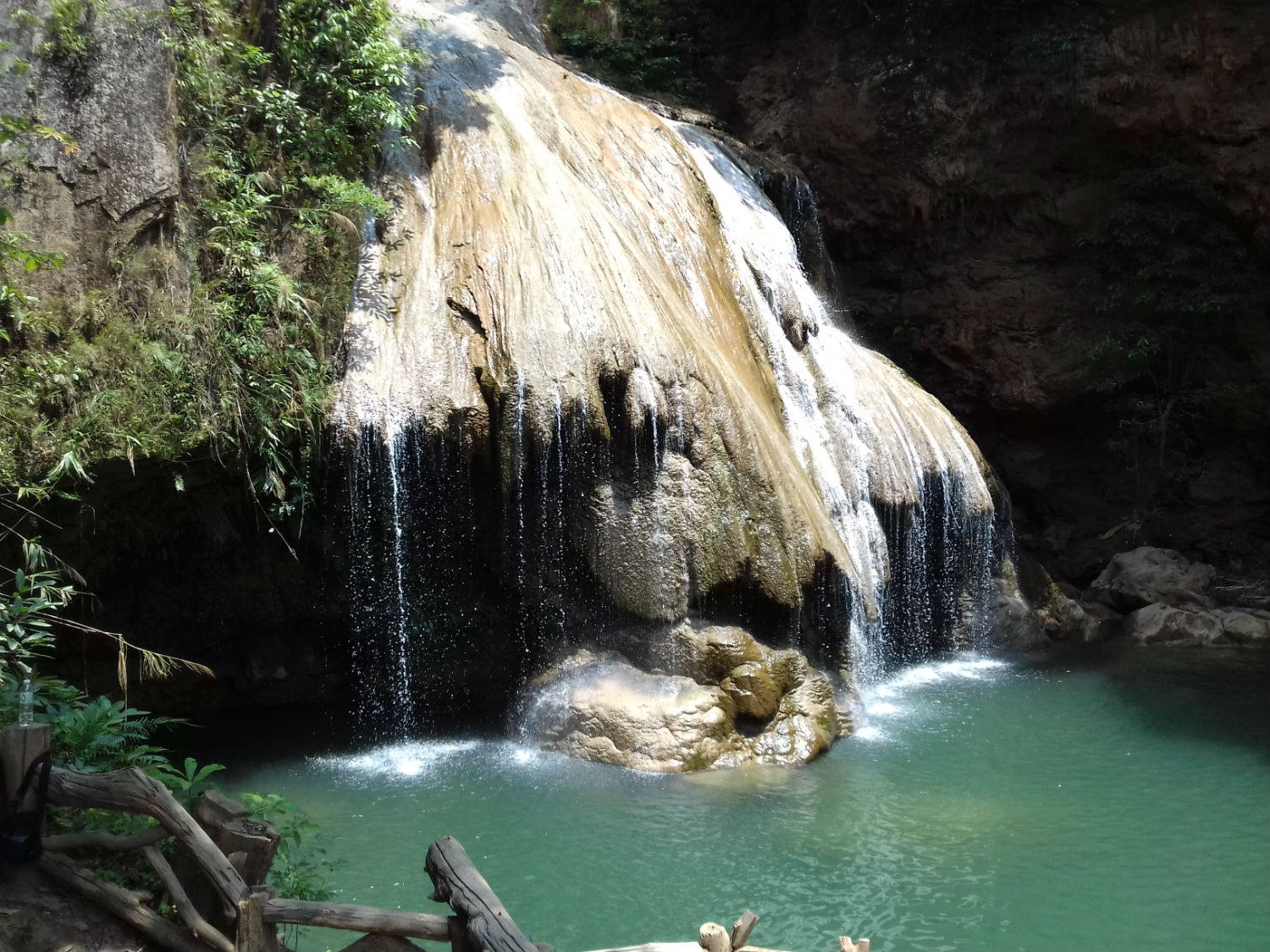 Tadsdoor Waterfall (2nd row) and the popular Ko Luang Waterfall, Mae Ping National Park in Lamphun Province
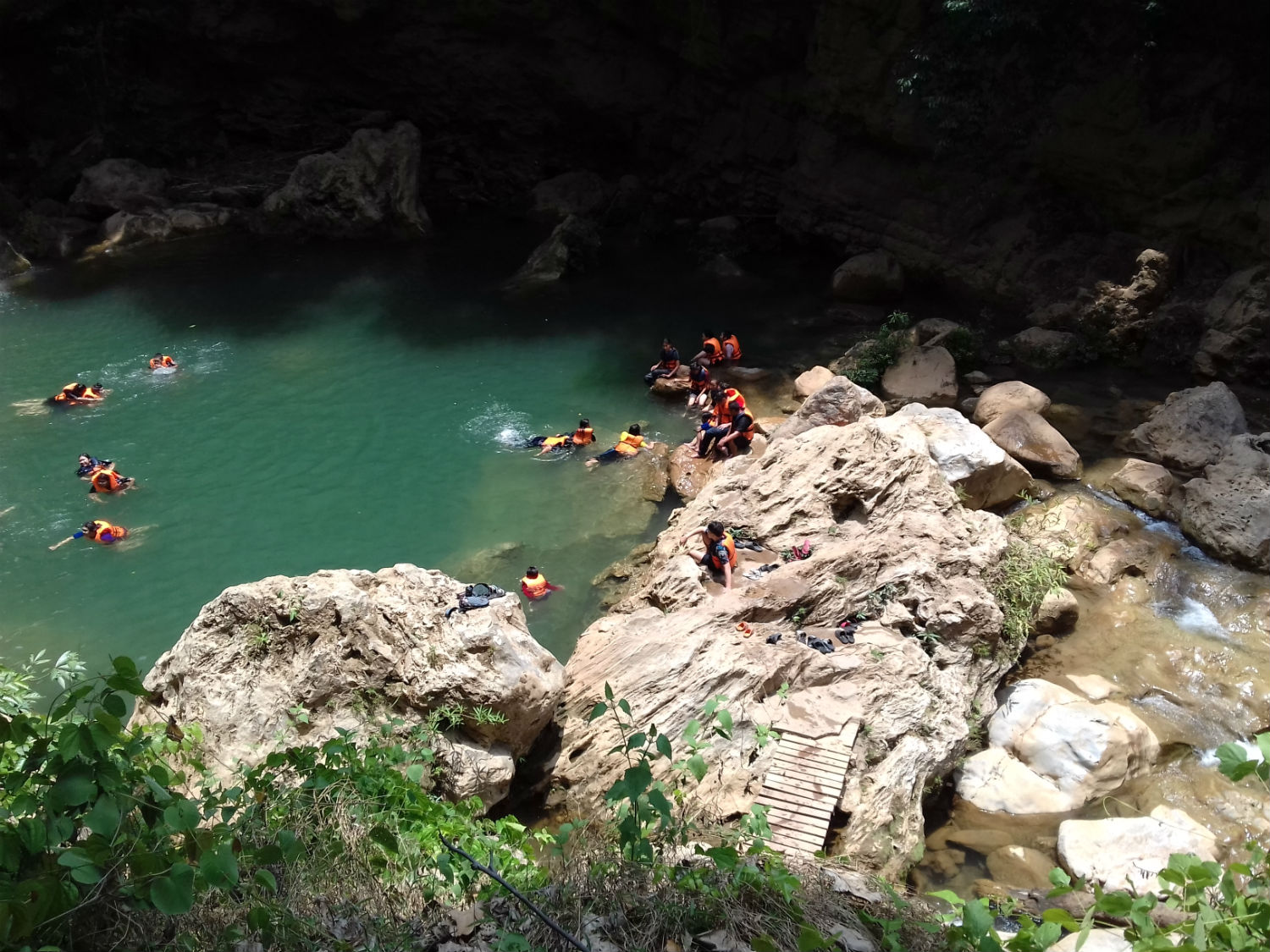
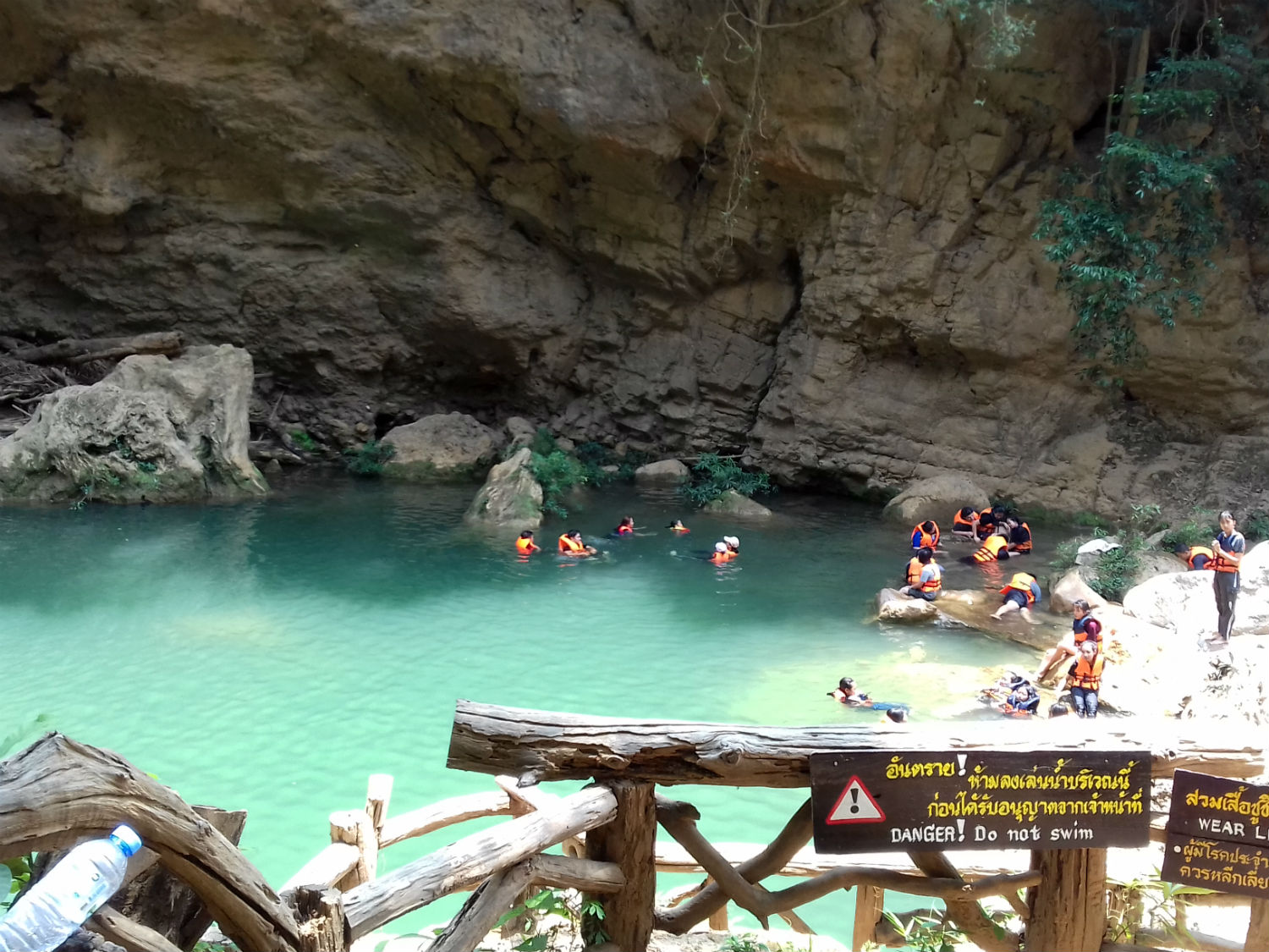
The waterfall is approached by a 500 metre path from the car park while on the way is a smaller waterfall and pond known as Tadsdoor Waterfall. The Ko Luang Waterfall is 8 metres deep and swimming is only allowed with a life preserver. Members of park staff are on duty to prevent dangerous practice.
While the water looks really inviting, I’ve declared any sort of water activity, out of bounds as a result of past heath issues.
Kaeng Ko........Kaeng Ko is described as a reservoir in the middle of the Bhumipol Dam located some 24 km from the park office where tourists can stay in raft bungalows and enjoy Ping River fish dishes.
Arriving at Keang Ko I can confirm that it is a peaceful place hardly touched by the modern world. From the raft pier there is only access by boat via the Ping River but the mighty Bhumipol Dam is 110 kilometres away. For us it’s a dead end but to reinforce our experience of being here we take lunch on one of the raft boats. Here the speciality is deep fried Ping River fish turned into tom khlong bpla grob (a spicy soup). The park also includes the Pha Dang Luang Viewpoint. This is a 1,000 metre high viewpoint offering scenic views of the Ping River and the Bhumipol Dam As it’s accessed from Thung Kik, it’s not open at the present time apparently as a result of recent fires.
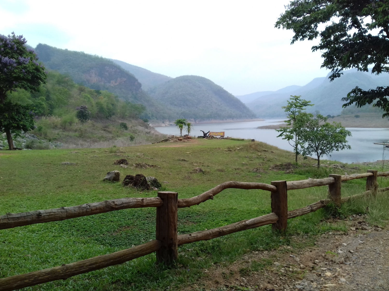
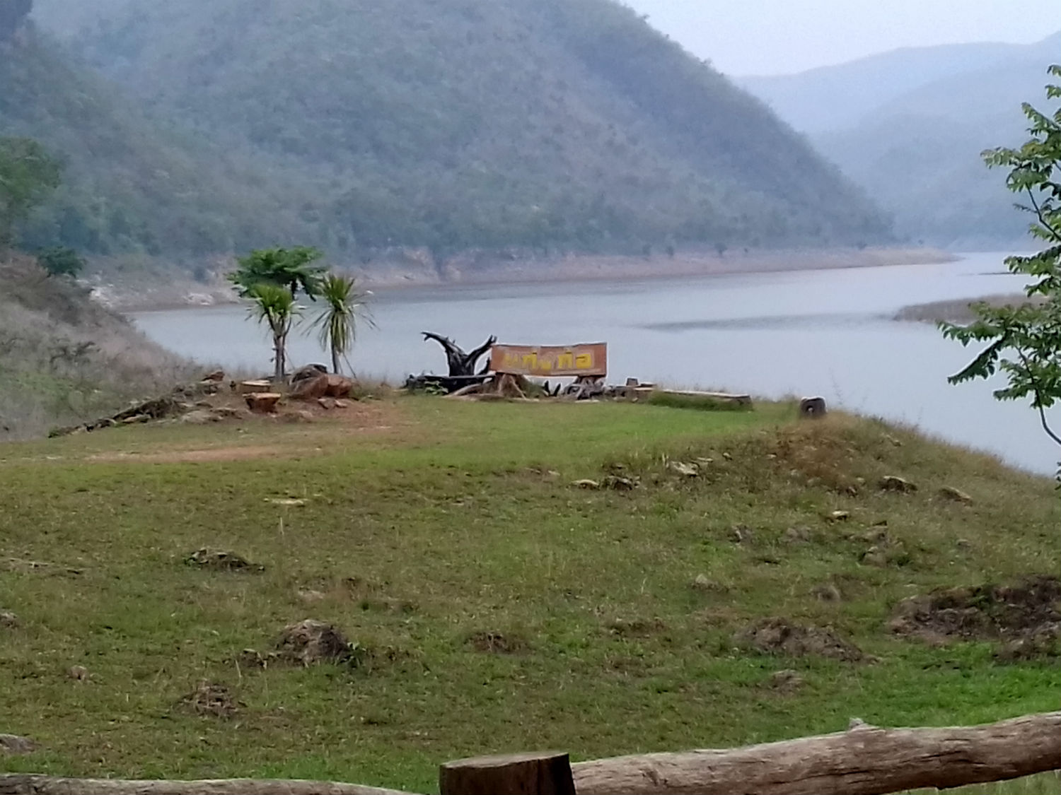
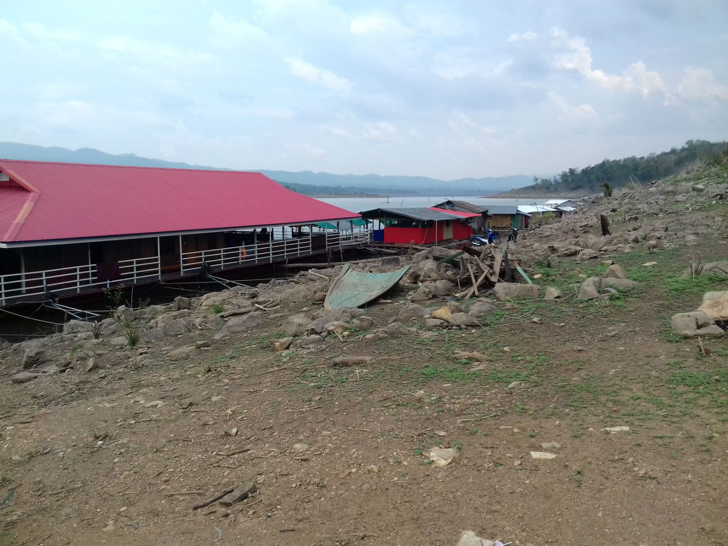
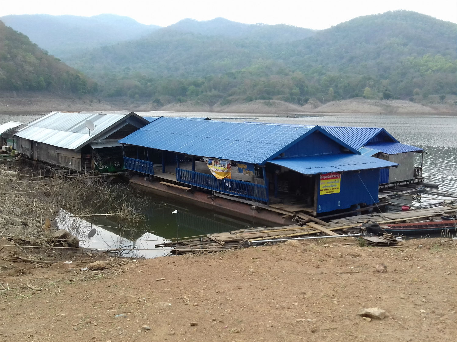
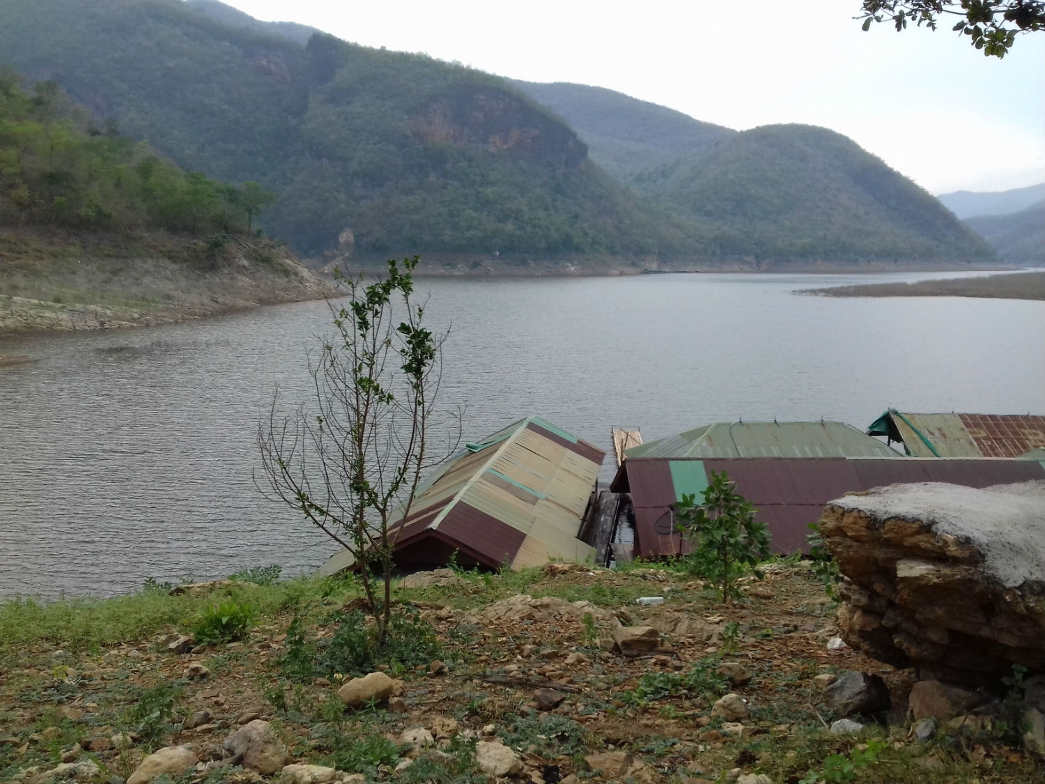
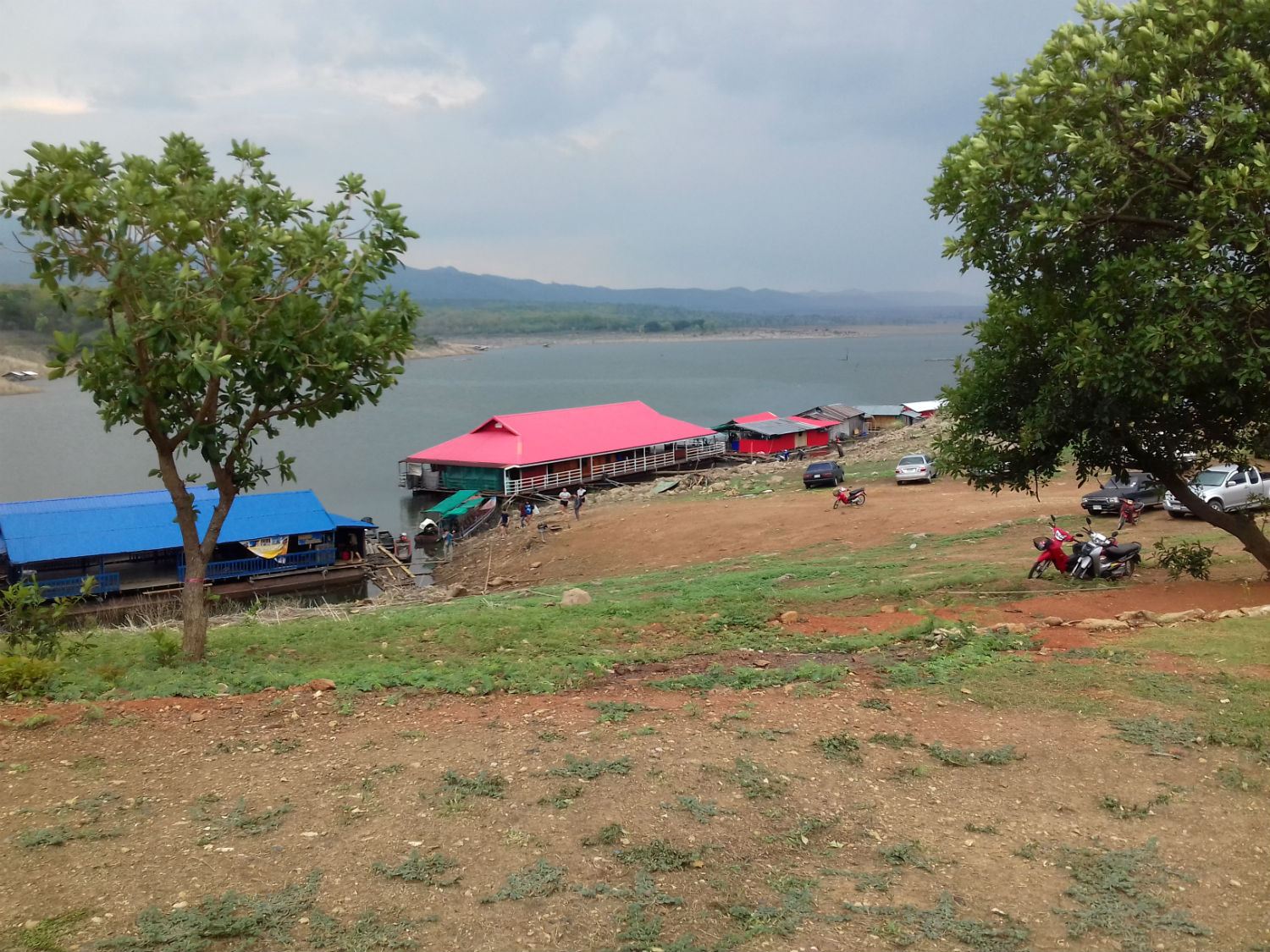 Kaeng Ko, Mae Ping National Park in Lamphun Province
Early Finish........As has been the case in the last few days there are thunderstorms in the area. Some rain arrives while we take lunch becoming more frequent as we head back down the valley. By the time we reach Ban Pailyn the rain is more or less continuous cancelling any other plans for today. With some relief I can get an early finish, needing only to acquire some provisions from the convenience store in the town by which time it has cooled down considerably. Next Page.