Tours Section by Province |
| Name |
Ref. |
Description |
Era |
District/Province |
Location |
Date visited |
Price (baht) |
Rating/Comment |
| Ranong Province |
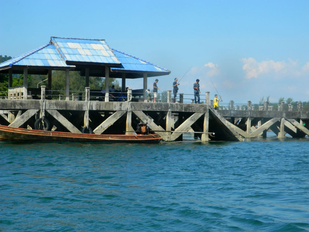
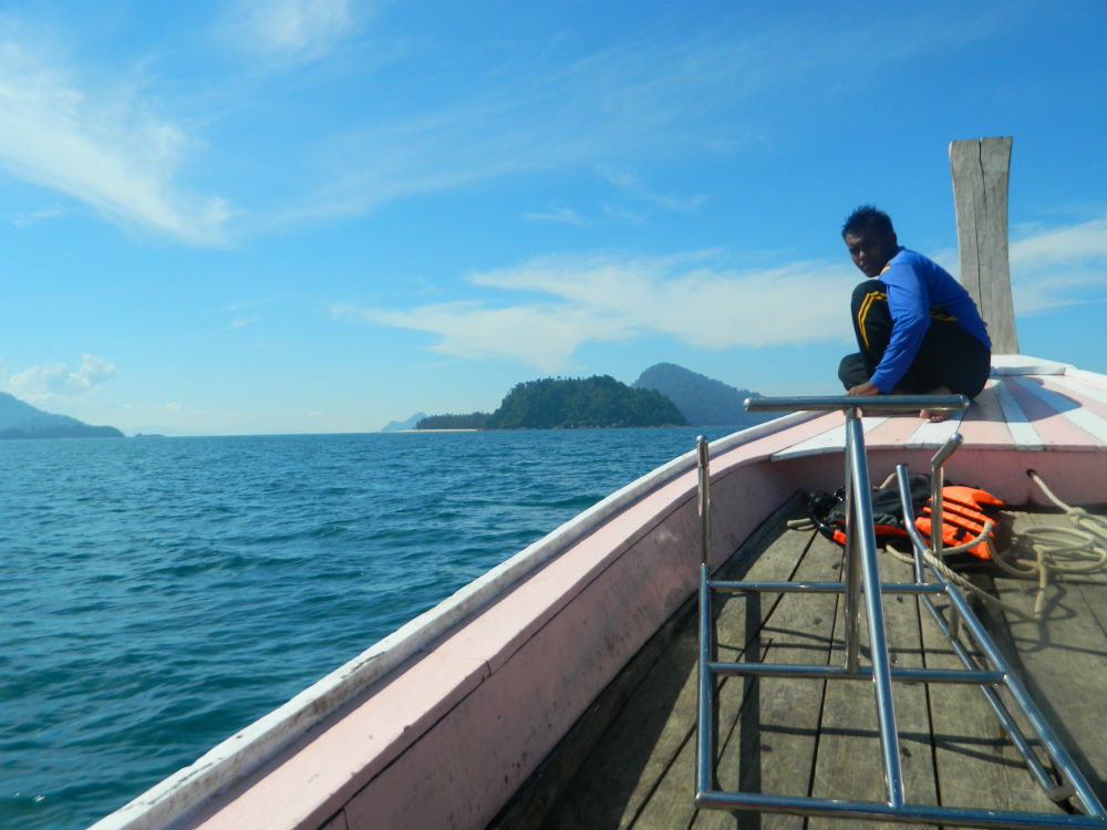
| Bang Ben Pier |
17D |
Pier |
----- |
Kapoe District |
Google Map |
2 Feb 2017 |
n/a |
jumping off point for islands in Laem Son National Park (M,3,#h |
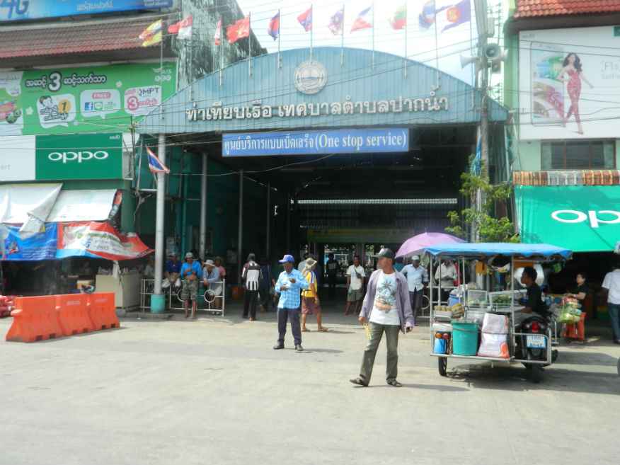
| Bodin Pier, Ranong/Kawthoung |
17D |
Border Crossing |
----- |
Mueang Ranong |
Google Map |
1 Feb 2017 |
n/a |
pier for visa run to Kawthoung (E,3,#h) |
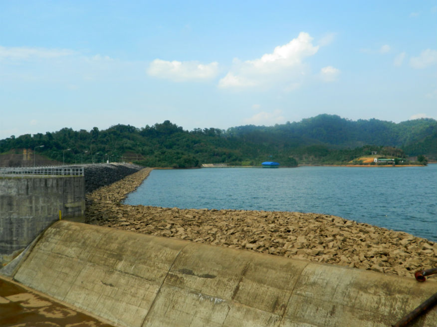
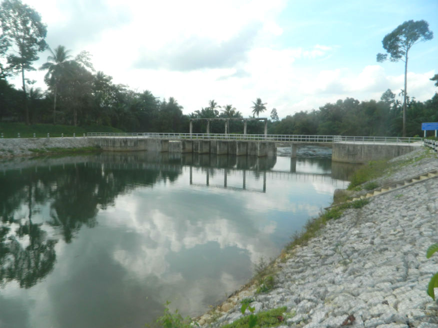
| Hat Som Paen Reservoir |
17D |
Reservoir |
|
Mueang Ranong District |
Google Map |
1 Feb 2017 |
n/a |
reservoir supplying water to Ranong City (M,2,30m) |
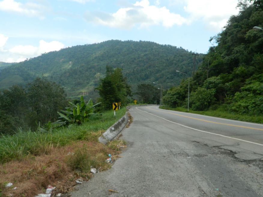
| Isthmus of Kra |
17D |
Viewpoint |
|
Kraburi District |
Google Map |
31 Jan 2017 |
n/a |
magnificent views of the Kraburi estuary and Myanmar beyond (E,4,30m) |
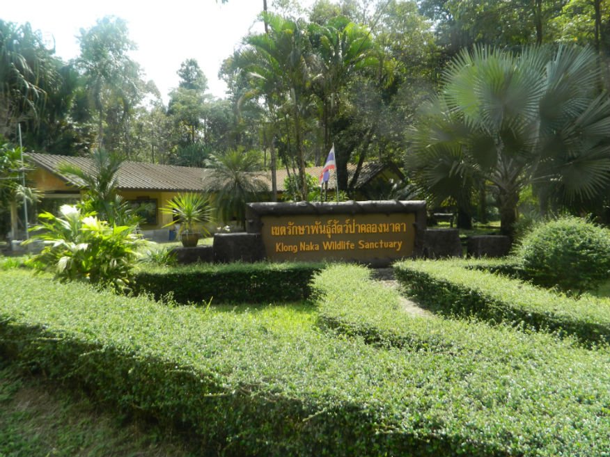
| Klong Naka Wildlife Sanctuary |
17D |
Wildlife Sanctuary |
|
Suk Samran District |
Google Map |
3 Feb 2017 |
n/a |
animal sanctuary and research centre (D,3,1h) |
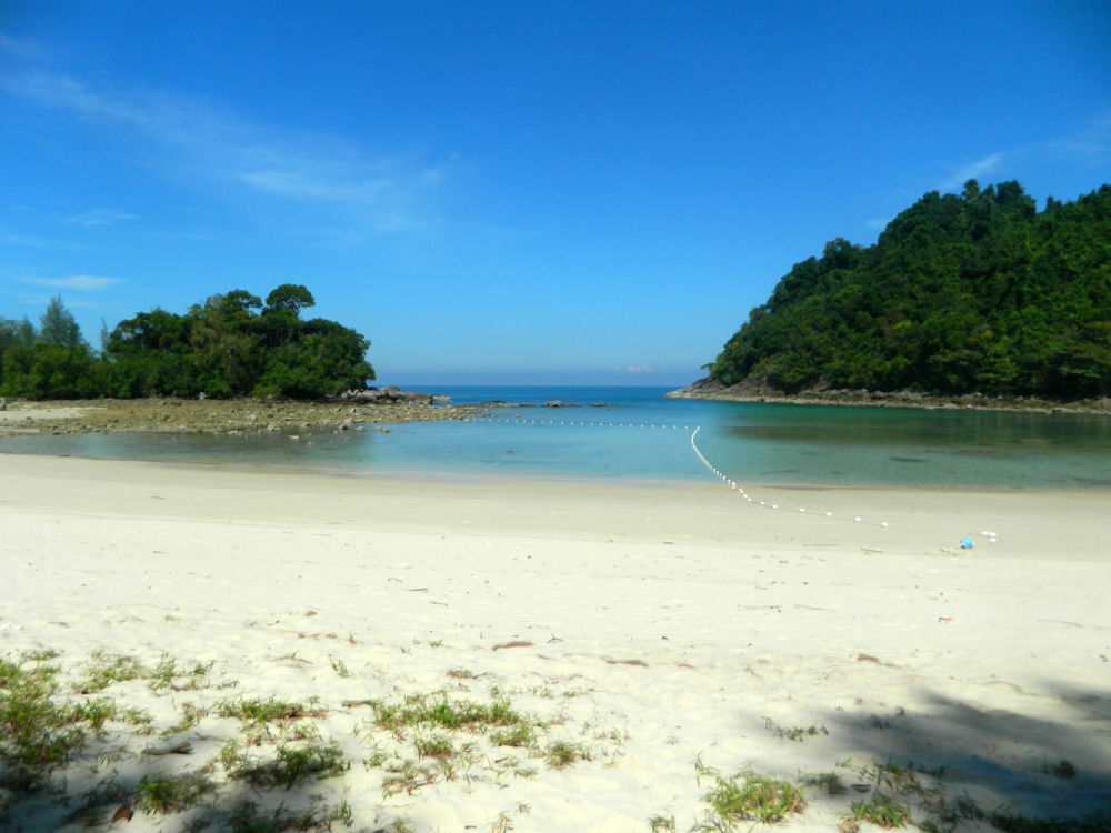
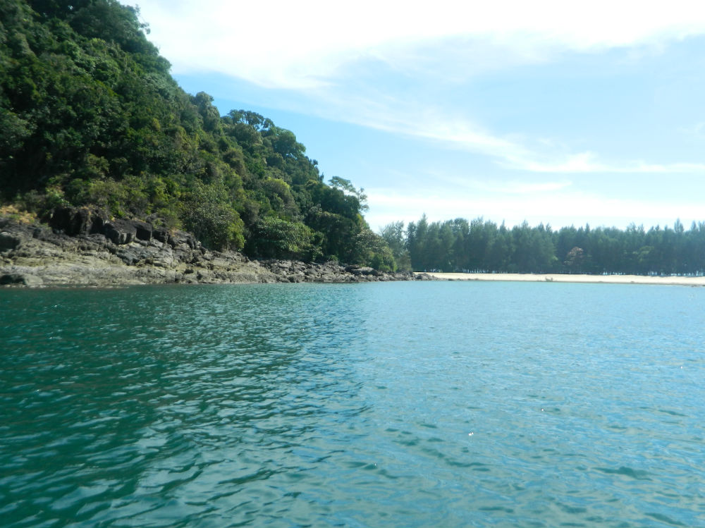
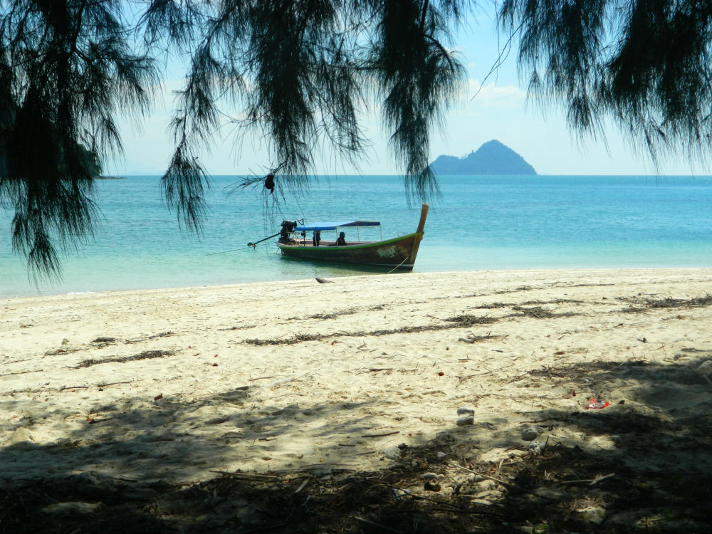
| Koh Hin Pla |
17D |
Island |
|
Laem Son National Park |
Google Map |
5 Feb 2017 |
n/a |
part of Laem Son National Park but listed separately here, amazing location (D,5,6h) |
| Koh Khang Khao |
17D |
Island |
|
Laem Son National Park |
Google Map |
5 Feb 2017 |
n/a |
ideal for snorkelling, part of Laem Son National Park but listed separately here (D,5,6h) |
| Koh Yipon |
17D |
Island |
|
Laem Son National Park, Kapoe District |
Google Map |
5 Feb 2017 |
n/a |
part of Laem Son National Park but listed separately here, amazing location (D,5,6h) |
| Laem Son National Park |
17D |
National Park |
|
Kapoe District |
Google Map |
5 Feb 2017 |
500 |
marine park containing beautiful coral islands (D,5,6h) |
| Lamnam Kraburi National Park |
17D |
National Park |
|
Kraburi District |
Google Map |
30 Jan 2017 |
n/a |
more investigation needed (M,3,2h) |
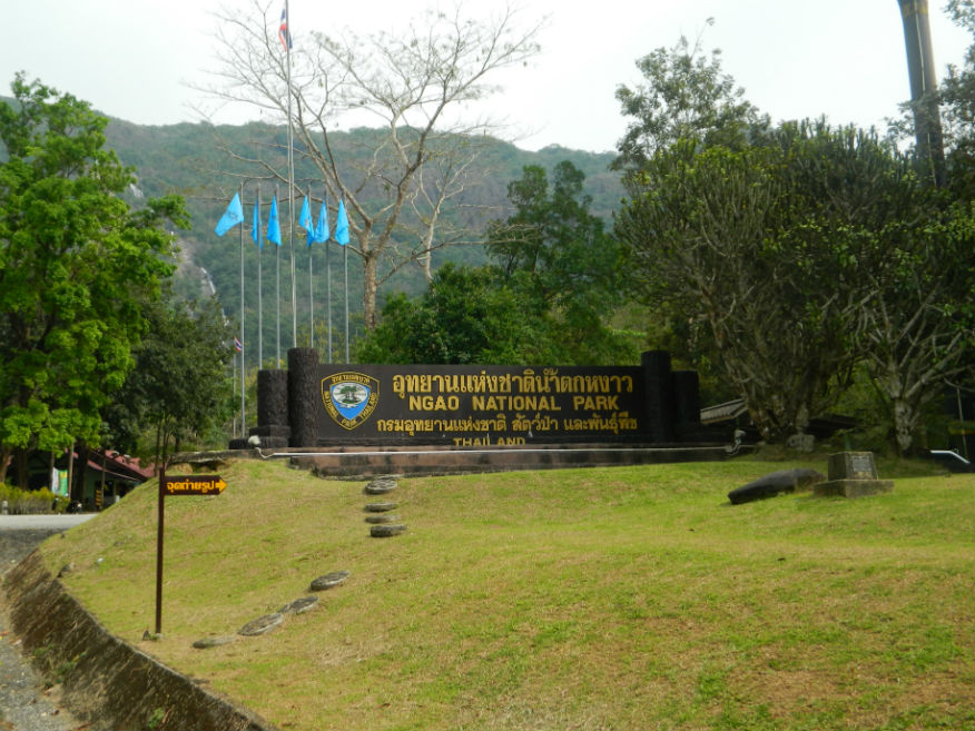
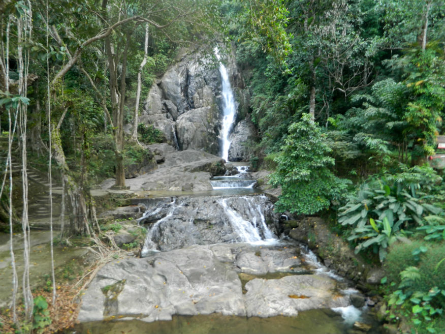
| Ngao Waterfall National Park |
17D |
National Park |
|
|
Google Map |
2 Feb 2017 |
n/a |
for the waterfall only (M++,4,1h+) |
| Phu Khao Ya (Grass Mountain) |
17D |
Hillside |
|
near Ngao Waterfall National Park, Mueang Ranong District |
Google Map |
2 Feb 2017 |
n/a |
odd grassy hills in an otherwise forested area with excellent views of Ngao Waterfall National Park (E,3,30m) |
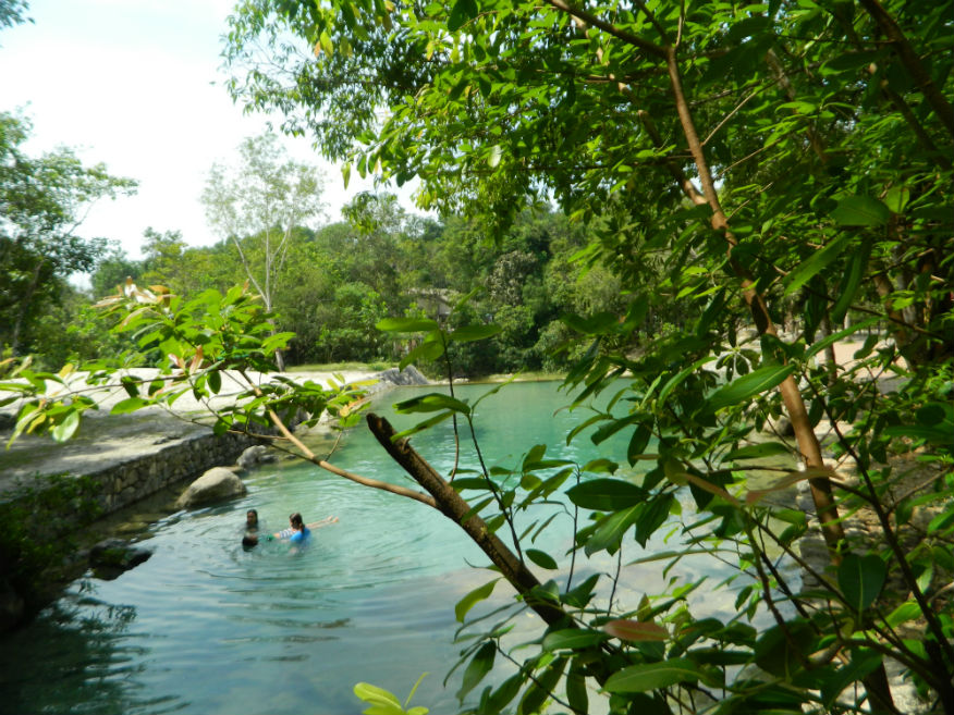
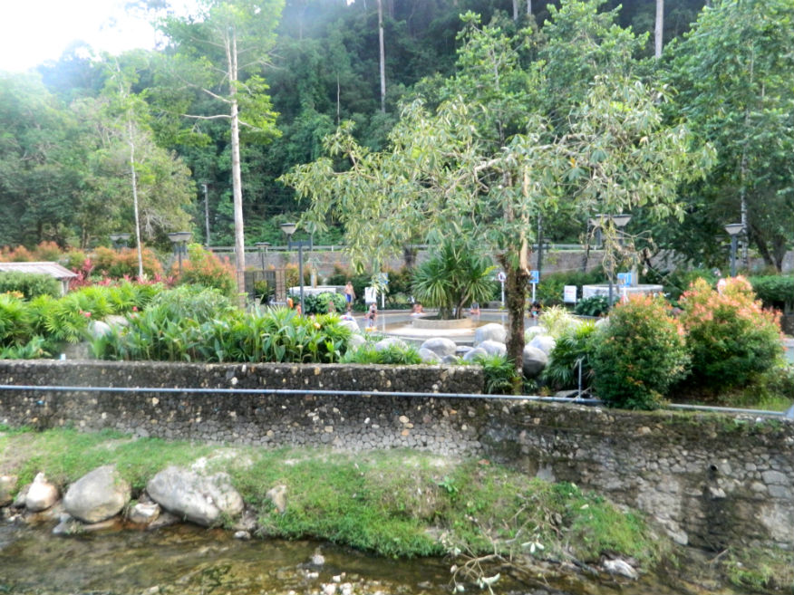
| Pornrang Hot Spring |
17D |
Hot Spring |
|
Mueang Ranong District |
Google Map |
2 Feb 2017 |
n/a |
a more developed hot spring with a number of pools in a shaded valley (M,4,3h) |
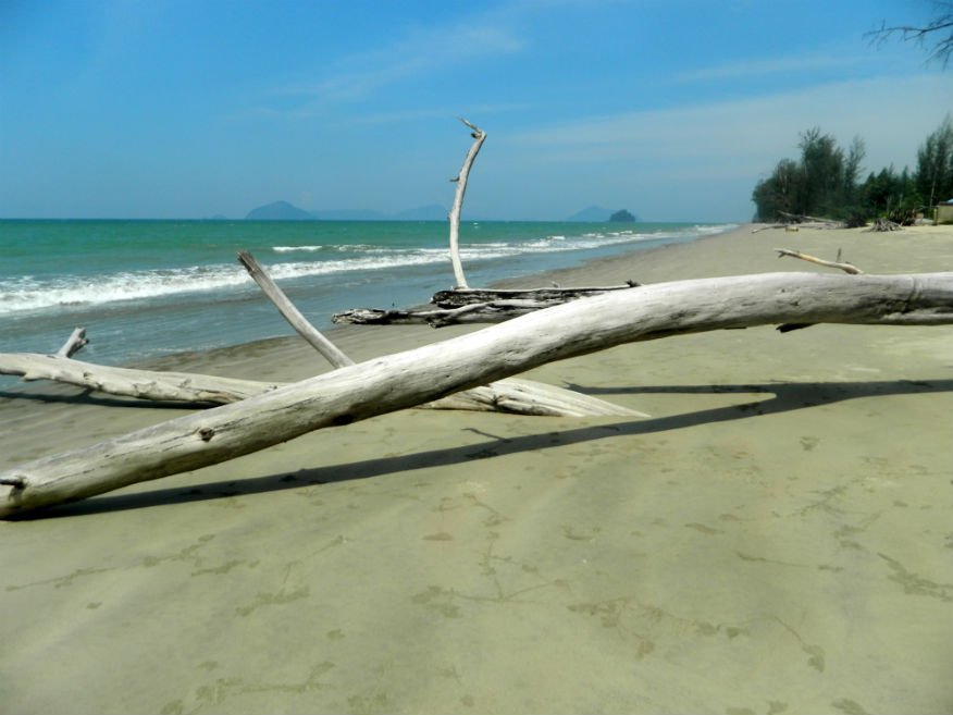
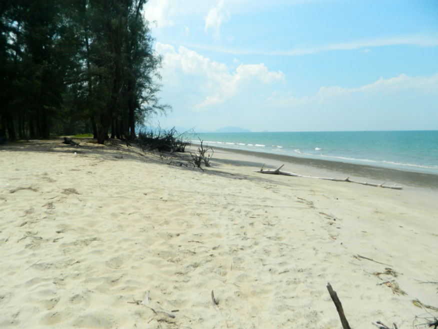
| Prapat Beach |
17D |
Beach |
|
Suk Samran District |
Google Map |
3 Feb 2017 |
n/a |
one of Ranong's completely deserted beaches Robinson Crusoe style (D,4,1h) |
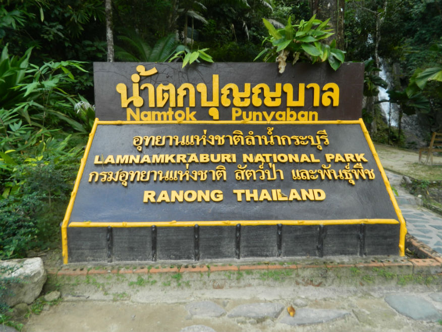
| Punyaban Waterfall |
17D |
Waterfall |
|
Kraburi District |
Google Map |
31 Jan 2017 |
n/a |
easily visited from the road leading down to Ranong (E,4,30m) |
| Raksa Warin Hot Spring |
17D |
Hot Spring |
|
Mueang Ranong District |
Google Map |
31 Jan 2017 |
n/a |
within walking distance of Ranong along Hat Som Paen stream (E,4,2h) |
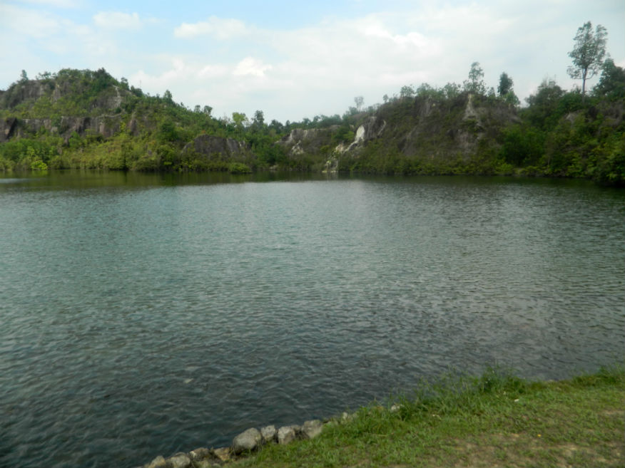
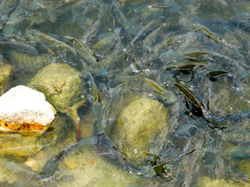
| Ranong Canyon |
17D |
Lake |
|
Mueang Ranong District |
Google Map |
1 Feb 2017 |
n/a |
basically just a lake with an opportunity to feed the fish (M,3,1h) |
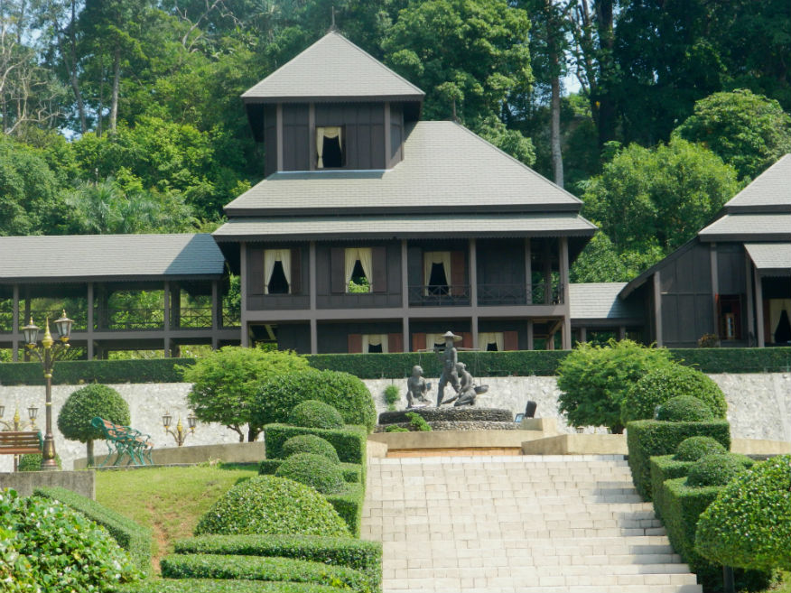
| Rattanarangsarn Palace |
17D |
Governor's Residence |
Rattanakosin |
Mueang Ranong |
Google Map |
1 Feb 2017 |
n/a |
(E,3,1h) |
| Tale Nok (Bird Beach) |
17D |
Beach |
|
Suk Samran District |
Google Map |
3 Feb 2017 |
n/a |
one of Ranong's completely deserted beaches Robinson Crusoe style (D,4,1h) |
| Wang Majcha Park |
17D |
Park |
|
Kapoe District |
Google Map |
3 Feb 2017 |
n/a |
another opportunity to feed river fish (E+,2,30m) |
| Wat Hat Som Paen |
17D |
Buddhist Temple |
-------- |
Mueang Ranong |
Google Map |
1 Feb 2017 |
accepts donations |
(M,3,1h) |
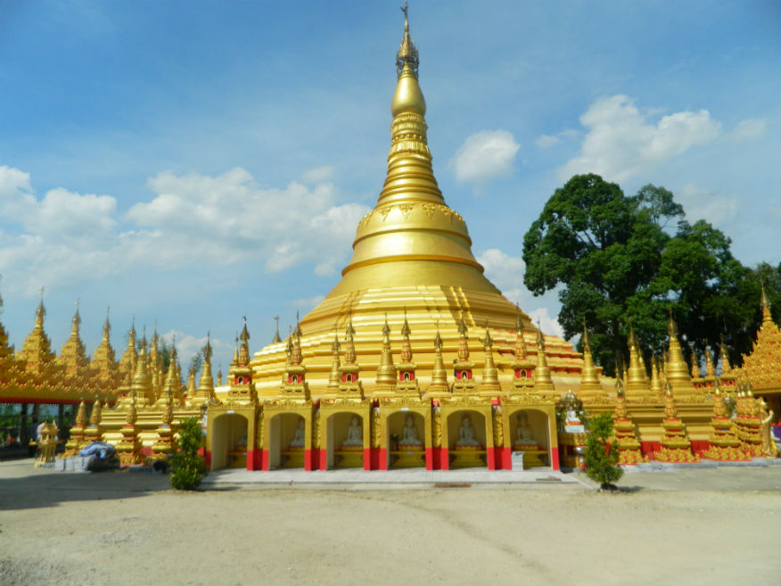
| Wat Suwan Khiri |
17D |
Buddhist Temple |
21st Century |
Kraburi District |
Google Map |
31 Jan 2017 |
accepts donations |
new temple in Burmese style (M,4,30m) |
