 |
|
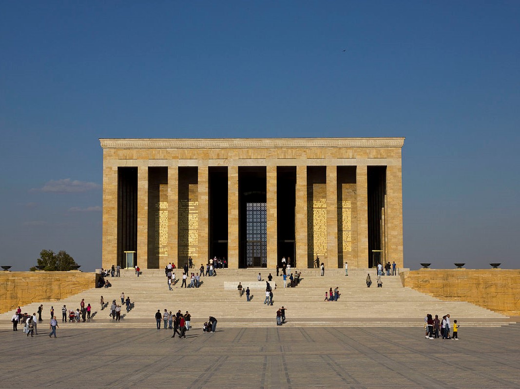
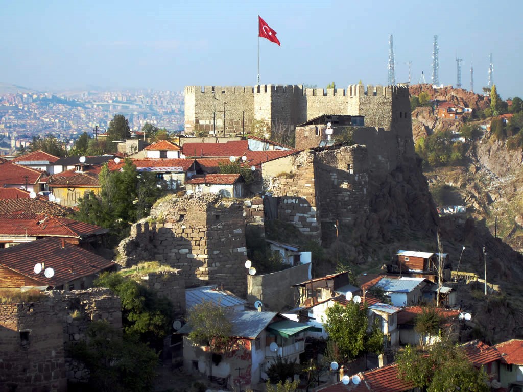
Ankara Province (Turkish: Ankara ili), is the capital province of Turkey. Ankara has 25 districts. The site of the modern city has been home to settlements by many historic Anatolian civilizations in antiquity and classical times, including Phrygians, Lydians, Persians and Alexander the Great, Romans, and Galatians. The city of Ankara became a fortified stronghold of the Byzantines; it fell to the Seljuk Turks and later the Ottoman Empire. It was finally chosen by Mustafa Kemal Atatürk and the Turkish National Movement as the site of the provisional government and the Turkish parliament in 1920, and in 1923 as the capital city of the newly declared Republic of Turkey. Geography: Ankara is mostly in the Central Anatolia region, and partly in the Black Sea region. Ankara has mountain forests to its north, and the dry plain of Konya to its south. The province is irrigated by the Kızılırmak and Sakarya River systems, the Sarıyar reservoir and many natural lakes and pools. 50% of the land is used for agriculture, 28% is forest and another 10% is meadow and grazing land. Lake Tuz, the second largest lake in Turkey, partly lies in the Şereflikoçhisar district of the province. The highest point of the province is the 2,015 meters tall Işık Mountain in the Kızılcahamam district. Climate: The climate is hot and dry in summer, rainy in spring and autumn, cold and snowy in winter, wetter in the north of the province than the drier plains to the south. The annual precipitation in the city of Ankara located the center of the province is 415 mm (1.362 ft), the annual precipitation of Kızılcahamam located in the north of the province is 592 mm (1.942 ft), and the annual precipitation of Şereflikoçhisar located in the southeast of the province is 357 mm (1.171 ft). The Wikipedia link below gives much more detail under the following headings: Ankara itself is historically known as Ancyra and is the capital of modern Turkey. With a population of 4,587,558 in the urban centre (2014) and 5,150,072 in its province (2015), it is Turkey's second largest city after Istanbul (the former imperial capital), having outranked İzmir in the 20th century. Ankara covers an area of 24,521 km2 (9,468 sq mi). On 23 April 1920 the Grand National Assembly of Turkey was established in Ankara, which became the headquarters of Atatürk and the Turkish National Movement during the Turkish War of Independence. Ankara became the new Turkish capital upon the establishment of the Republic on 29 October 1923, succeeding in this role the former Turkish capital Istanbul (Constantinople) following the fall of the Ottoman Empire. The government is a prominent employer, but Ankara is also an important commercial and industrial city, located at the centre of Turkey's road and railway networks. The city gave its name to the Angora wool shorn from Angora rabbits, the long-haired Angora goat (the source of mohair), and the Angora cat. The area is also known for its pears, honey and muscat grapes. Although situated in one of the driest places of Turkey and surrounded mostly by steppe vegetation except for the forested areas on the southern periphery, Ankara can be considered a green city in terms of green areas per inhabitant, at 72 square metres (775 square feet) per head. The historical centre of the town is a rocky hill rising 150 m (500 ft) over the left bank of the Ankara Çayı, a tributary of the Sakarya River, the ancient Sangarius. The hill remains crowned by the ruins of the old citadel. Although few of its outworks have survived, there are well-preserved examples of Roman and Ottoman architecture throughout the city, the most remarkable being the 20 BC Temple of Augustus and Rome that boasts the Monumentum Ancyranum, the inscription recording the Res Gestae Divi Augusti. Source: https://en.wikipedia.org/wiki/Ankara_Province |
|
Recommended Sites:....view.