|
Chiang Mai Province
Chiang Mai is the second-largest province (changwat) of Thailand. It is in the country's north. It is bordered by Chiang Rai to the northeast, Lampang and Lamphun to the south, Tak to the southwest, Mae Hong Son to the west, and Shan State of Burma to the north. The capital, Chiang Mai, is 685 km north of Bangkok.
Geography: Chiang Mai Province is in the Mae Ping River basin and is on average at 300 m (1,000 ft) elevation. Surrounded by the mountain ranges of the Thai highlands, it covers an area of approximately 20,107 km2 (8,000 sq mi). The mountains of the Daen Lao Range at the north end of the province, the Thanon Thong Chai Range stretching in a north-south direction and the Khun Tan Range in the east of the province are covered by rain forest. The Mae Ping, one of the major tributaries of the Chao Phraya River, originates in the Daen Lao mountains. The highest mountain in Thailand, Doi Inthanon at 2,565 metres (8,415 ft), is in Chiang Mai Province. Several other national parks are also in the province: Doi Suthep-Pui, Ob Luang, Sri Lanna, Huai Nam Dang, Mae Wang, and Pha Daeng.
History: Chiang Mai, the capital of Chiang Mai Province was the capital of the Lanna Kingdom after its founding in 1296, during the same period of time as the establishment of the Sukhothai Kingdom. From then, Chiang Mai not only became the capital and cultural core of the Lanna Kingdom, it was also the centre of Buddhism in northern Thailand and King Meng Rai built innumerable temples.
In 1599, the kingdom lost its independence and became part of the Ayutthaya Kingdom. This ended the dynasty founded by King Meng Rai, an era that last 300 years. Then Burmese occupiers, had a powerful Burmese influence on the architecture which can still be seen today. It was only in the late 18th century that Burma was finally defeated with the leadership of King Taksin.
In 1932 the Chiang Mai province moved up to the second level subdivision of Thailand when the administrative unit of Monthon Phayap, the remains of the Lanna Kingdom, was dissolved.
Demographics: 13.4 percent of the population in the province are members of hill tribes, among them the Hmong, Yao, Lahu, Lisu, Akha, and Karen.
Symbols: The seal of the province shows a white elephant in a glass pavilion. The white elephant is a royal symbol in Thailand and it is depicted to remember the offering of a white elephant by Thammalangka, a ruler of Chiang Mai, to his overlord, King Rama II of Bangkok. The pavilion symbolizes that Buddhism prospered in Chiang Mai, especially when in 1477 the teachings of Buddha, the Tripitaka, were reviewed.
The provincial flower and tree is the "flame of the forest" (Butea monosperma).
The provincial slogan is - In the shadow of Mount Doi Suthep, blessed with rice customs and traditions, beautiful wild flowers, magnificent Nakhon Phing.
Administrative divisions and postal codes: Chiang Mai is subdivided into 25 districts (amphoe). The districts are further subdivided into 204 subdistricts (tambon) and 2,066 villages (muban).
Source: Wikipedia
|
Chiang Mai Map
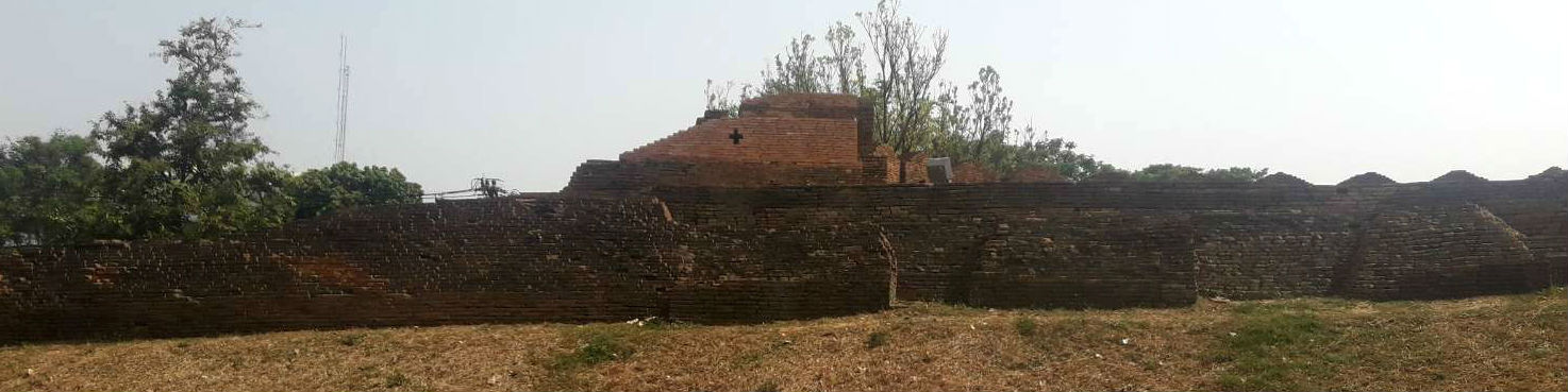 Part of the Old City Wall, Chiang Mai
|
