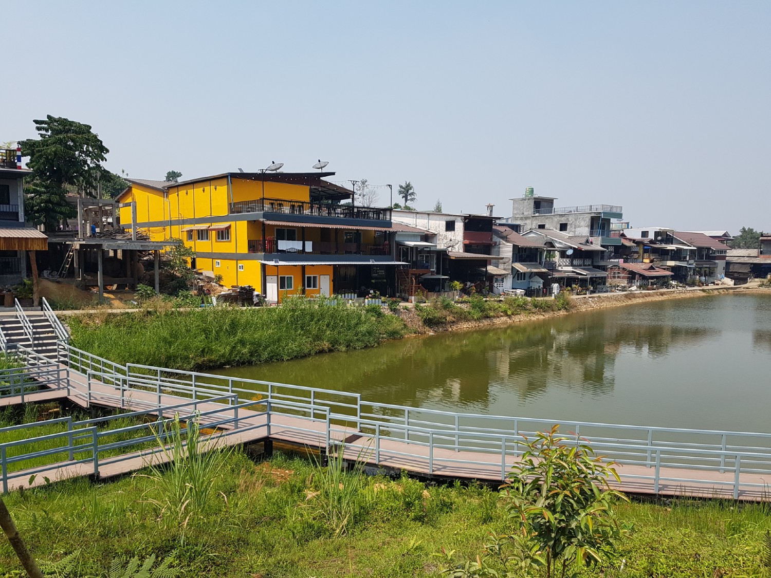
 from Saphan Na Coffee Shop, Tha Muang District, Kanchanaburi Province")
Kanchanaburi (Thai: กาญจนบุรี) is the largest of Thailand’s western provinces (changwat) and the third largest in Thailand. The neighbouring provinces are (clockwise, from the north) Tak, Uthai Thani, Suphan Buri, Nakhon Pathom, and Ratchaburi. In the west it borders Kayin State, Mon State, and the Tanintharyi Region of Myanmar. The provincial capital, Kanchanaburi, lies 123 kilometres to the west of Bangkok and can be accessed by road or rail.
Topographically, the province is covered with timber and evergreen forests. The district covers the source valleys of the rivers Kwae Yai and Kwae Noi (River Kwai), which merge at Kanchanaburi city to form the Mae Klong River. Several national parks are in the mountainous forest areas of the Tenasserim Hills of the province: the Erawan, Sai Yok, Khao Laem, Thong Pha Phum, Khuean Srinagarindra, and Chaloem Rattanakosin National Parks. The Thungyai Naresuan Wildlife Sanctuary is on the UNESCO world heritage list.
Historically the region is equally impressive and evidence of human occupation dates back to the 4th century with human remains found during excavations at Prasat Muang Sing in southern Kanchanaburi province. Prasat Muang Sing in itself reveals the extent of the Khmer civilisation (9th-13th centuries). It then appears during the subsequent Sukhothai and Ayutthaya periods that conflict with the Burmese was never far away: A most famous battle took place in the 16th century by King Naresuan against the Burmese crown prince. In 1767 the city of Ayutthaya finally fell to the Burmese. Then after the brief reign of King Taksin, a new era arrived when Phra Phutthayotfa Chulalok (King Rama I) created a new dynasty which has lasted to this day. About 40 kilometres west of Kanchanaburi is the Nine Army War History National Park, a memorial to the vicious fighting that took place in the area to finally subdue the Burmese invaders. Despite such a rich history the province will probably only be remembered by foreigners for the Japanese occupation of Thailand in 1942 when both allied POWs and Asian labourers were ordered by the Japanese to build a Thailand-Burma railway. Eventually, more than 100,000 people (16,000 allied POWs and 90,000 local Asian labourers) died from horrific working conditions.
Such a wealth of history and natural wonders provides visitors today with so many opportunities to explore the province. It simple isn’t possible to cram it all in here. In Kanchanaburi itself is the reconstructed bridge over the Kwae Noi (River Kwai), the two war cemeteries – Don Rak and Chung Khai, the Jeath Museum near the bridge and the Thailand Burma Railway Museum near Don Rak. Then along the road up to Three Pagodas Pass, where the line crossed the border, is Hell Fire Pass Memorial Museum and the Konyu Cutting carved out by POW and Asian labourers. The Nine Army War History National Park and Prasat Muang Sing are less frequented but are historically just as important.
The national parks listed above are supplemented by a wealth of natural features. The Sinakharin and Vajiralonkorn reservoirs are impressive as are the numerous waterfalls and caves in this province.
Main source: https://en.wikipedia.org/wiki/Kanchanaburi_Province
Kanchanaburi Province Map
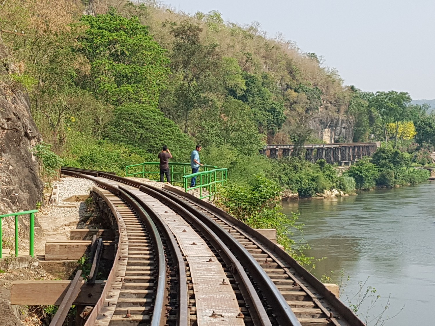
Death Railway, Sai Yok District
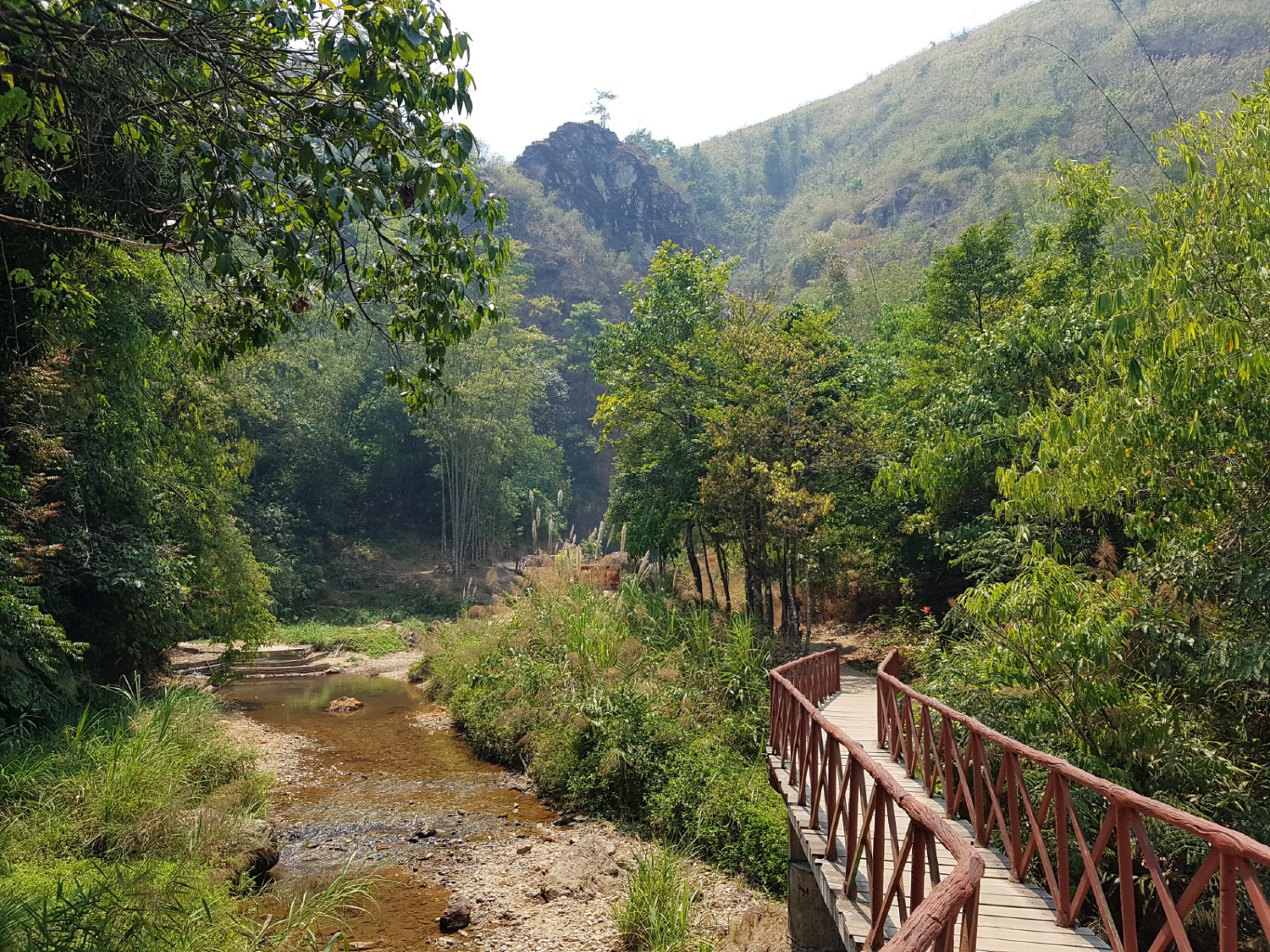
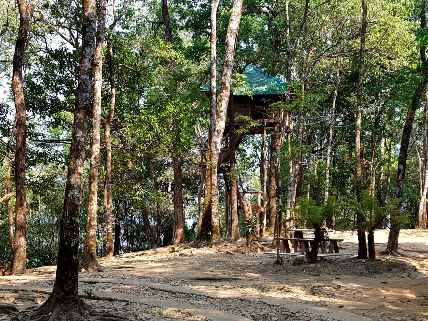
Thong Pha Phum National Park
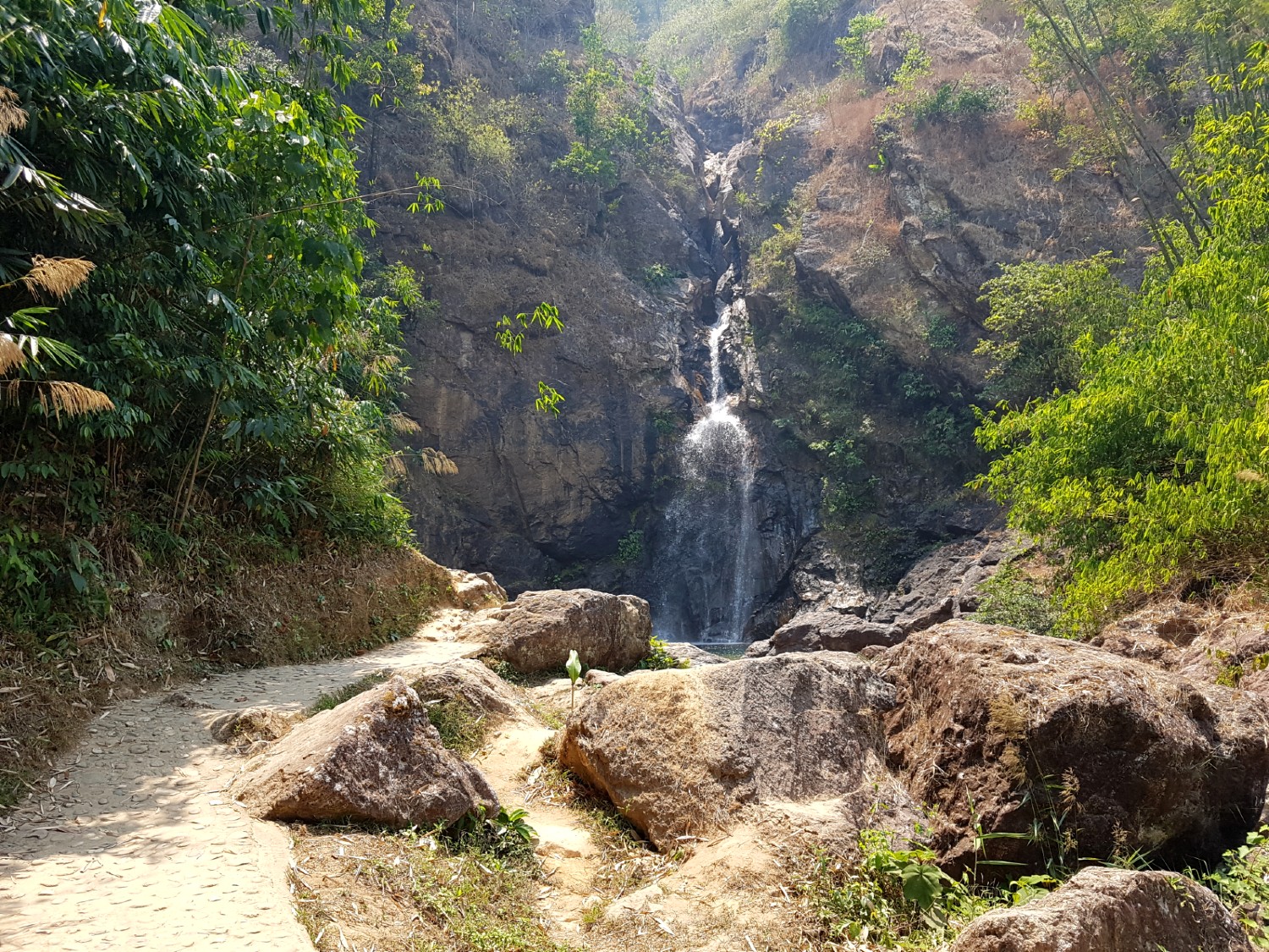
Jokkradin Waterfall,
Thong Pha Phum National Park
Ban E-Thong, Thong Pha Phum District
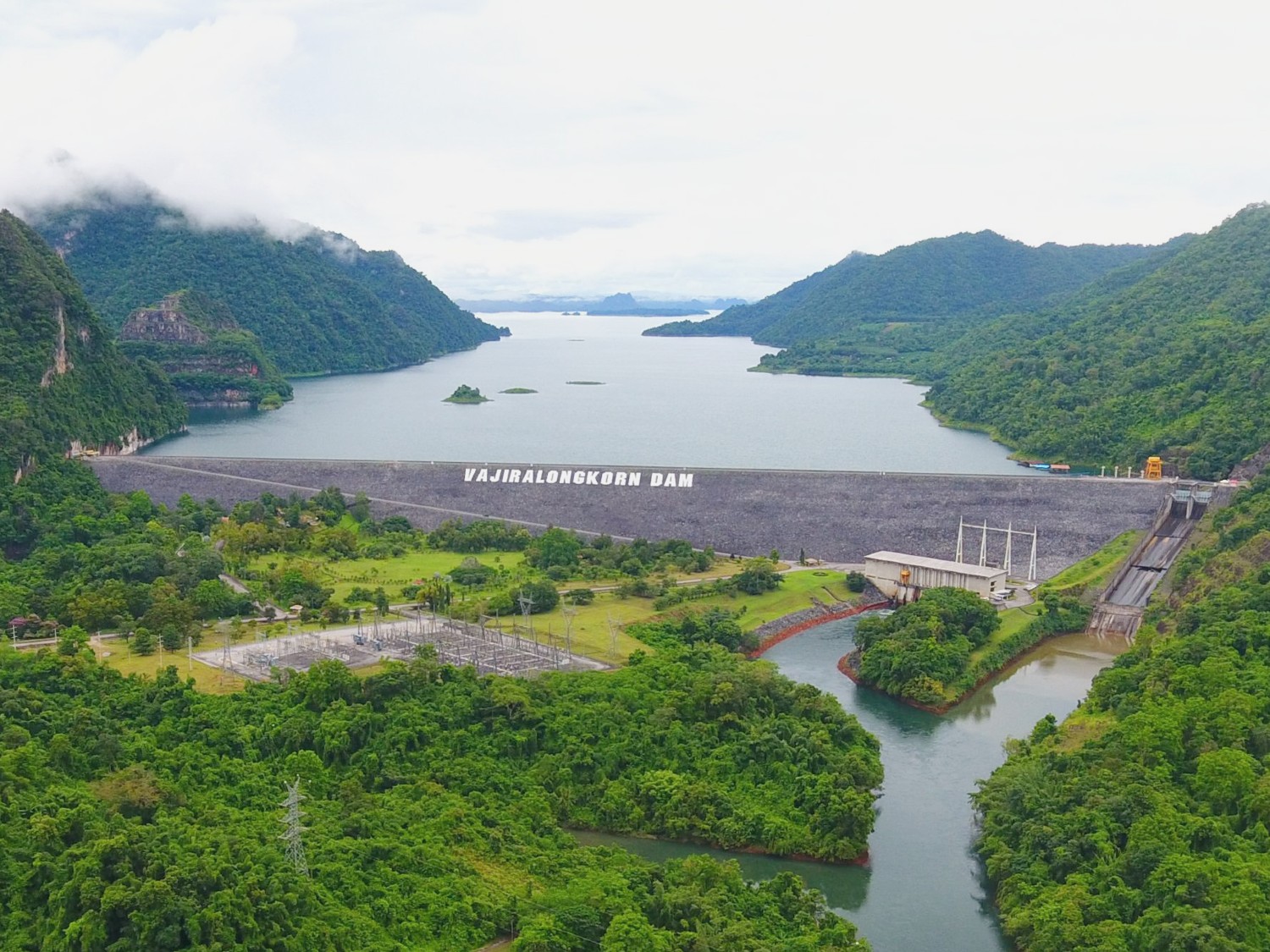
Vajiralongkorn Dam, Kanchanaburi Province
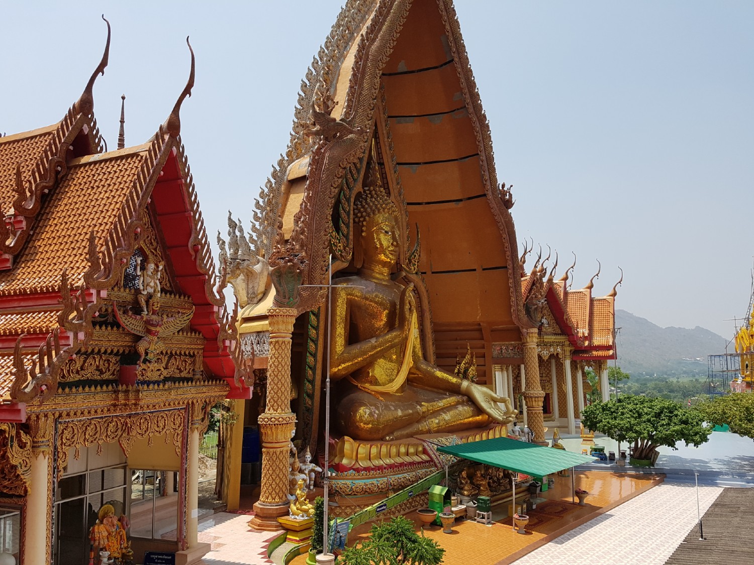
Wat Tham Suea (Tiger Temple),
Tha Muang District
Saphan Na (restaurant/coffee shop),
Tha Muang District