|
|
 |
|
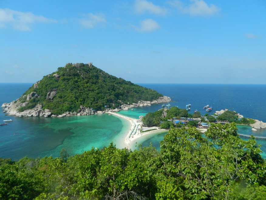
Surat Thani, often shortened to Surat, is the largest of the southern provinces (changwat) of Thailand. It lies on the western shore of the Gulf of Thailand. Surat Thani means "city of good people", a title given to the city by King Vajiravudh (Rama VI). Neighbouring provinces are (from north, clockwise) Chumphon, Nakhon Si Thammarat, Krabi, Phang Nga, and Ranong. The province is divided into 19 districts (ampoe). Geography: The centre of the province is the coastal plain of the Tapi River, mostly grassland interspersed with rubber trees and coconut plantations. In the west are the limestone mountains of the Phuket range which are mostly covered with forest. The popular Khao Sok National Park in Phanom district is located here. To the east the hills of the Nakhon Si Thammarat (or Bantat) mountain range start to rise, protected in the Tai Rom Yen National Park. Many islands in the Gulf of Thailand belong to the province, including the tourist islands Koh Samui, Koh Phangan and Koh Tao, as well as the Koh Ang Thong Marine National Park. The main rivers of Surat Thani Province are the Tapi River and the Phum Duang River, which join at the town Tha Kham shortly before they flow into Bandon Bay. History: Although inhabited in prehistoric times by tribes, the first kingdom covering most of the Malay Peninsula was the Kingdom of Srivijaya which lasted until the 13th Century. During this time Chaiya was an important regional capital with its own royalty. Since then, various cities have been administered from the Thai capital or the Nakhon Si Thammarat Kingdom. The present provincial capital of Surat Thani received its name in 1915 and by 1933 the various administrative centres merged to form a first level subdivision. Tourism: Surat Thani is connected to the capital with good road and rail services and has its own international airport. The popular holiday destination of Koh Samui also has an airport, while there are excellent ferry services from the mainland and between the islands. The next most popular destinations are to the west; Khao Sok National Park and the Cheow Lan Lake. Economy: The main agricultural products of the province are coconut and rambutan. The coconuts are often picked from the tree by specially trained monkeys, mostly pig-tailed macaques. Rubber tree plantations are also common in the province. A notable local product is the hand-woven silk cloth from the coastal village Phum Riang in Chaiya District. Chaiya is also the most famous source of red eggs, a local specialty. Ducks are fed with crabs and fish and the eggs are then preserved by placing them in a soil-salt mixture. |

|
Surat Thani featured sites are in Tour 15J. Other sites of interest in the province:
Historic/Religious Sites: Chaiya National Museum, Phra Borom That Chaiya Phra Borom That Chaiya, Ban Phumriang Ban Phumriang, Wat Suan Mokkhaphalaram, Wat Khao Suwan Pradit
Natural Sites: Koh Samui, Koh Pangnan, Mu Koh Ang Thong National Park, Ao Thong Nai Pan, Tai Rom Yen National Park, Klong Roi Sai at Tapee River, Donsak Pier, Monkey Training College