Natural Thailand Tour - 17 November to 3 December 2014
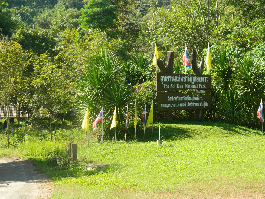
Phu Soi Dao National Park
|
Name: Phu Soi Dao National Park
Location: Eastern Uttaradit Province, Northeastern Phitsanulok Province
Status: National Park
Area: 340 km2
Date established: 1980
Photo dated: 25th November 2014
Phu Soi Dao National Park occupies a part of eastern Uttaradit Province and northeastern Phitsanulok Province, a total of 340 km2. It also shares an international border with Xayaburi Province in Laos. The highest peak is Phu Soi Dao, 2,102 meters above sea level, which straddles the border with Laos and Phitsanulok Province. The park can be reached using Highway 1237 from Chat Trakan in Phitsanulok Province or Highway 1268 from Loei. Both lead north, the latter reaching Uttaradit Province. The park has several attractions that include a savanna field situated within the dense pine trees and the five-tier Phu Soi Dao waterfall near the park office. The steep climb to the top of the falls gives a flavour of the 4-5 hour hike up the mountainous trail leading to Larn Paa Son where you can stay overnight. Visitors should stop at Sai Tip waterfall during their way to Larn Paa Son to admire the moss and lichen covered cliff. Those wishing to take the trail can hire porters and equipment at the park office while collecting information on the natural features of the park.
|