Natural Thailand Tour - 17 November to 3 December 2014
Phu Thap Boek
 16.90651654567664, 101.08722564368605
|
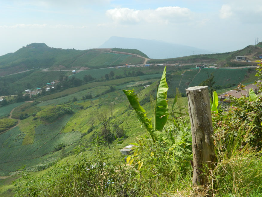
Name: Phu Thap Boek
Location: Kok Sathon, Dan Sai District, Loei Province
Type: Mixed evergreen rain forest
Range: Western Massif
Photo dated: 23rd November 2014
Thap Boek is located at Mu 14 in Tambon Wang Ban, Amphoe Lom Kao, Phetchabun. Phu Thap Boek (phu, meaning mountain) is home to a Hmong hill tribe village called Ban Thap Boek. The area lies 1,768 meters above sea level and is often referred to as the highest point in Phetchabun province. Mountainous terrain and high altitudes guarantee cool weather all year round for visitors. The area is also culturally significant: it served a catchment area for rainwater used in a sacred ceremony during His Majesty the King’s 72nd birthday celebrations.
From December to January, during the cool season, the hills are covered in cherry blossoms, making it the perfect time to visit. A particular attraction to tourists is ‘talay mog’ meaning sea of mist which is best observed in early mornings on clear days. During the rainy season, mists engulf the hills both day and night. The Phetchabun Tourism Association provides bungalows and tents for rent, and a campsite (with an admission fee) is also available for those who bring their own tents.
Phu Thap Boek can be reached from Lom Sak in northern Petchabun Province by taking Highway No. 203 for 18 kilometers passing through Lom Kao. After taking a left turn following local roads for a further 5 kilometers there is a park check point (Phu Hin Rong Khla). Here local road No. 2331 heads straight to the summit. The journey requires a higher powered vehicle to be safe. Low gear is essential to negotiate the steep gradient and switch-back bends. Automatic vehicles must use manual override. A good half hour should be allowed for the journey starting from the check-point. Unusually those visiting the mountain on a day-trip may find many trippers returning down by mid-morning. They had come to view the 'talay mog'.
|